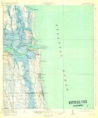
1918 Map of Mayport
USGS Topo · Published 1932About this map
St Johns River dominates this coastal landscape, serving as the central artery for maritime activity before the era of intensive modern development. The map shows the vital Mayport Br of the Florida East Coast railroad connecting the inland with the coast at San Pablo Sta, supporting small communities like Pablo Beach and Atlantic Beach. Near the river's mouth, the historic Pilot Town Fort George PO and Mayport indicate the importance of river pilots and early naval infrastructure. The inland side is characterized by a complex network of marshes and islands, including Fort George Island and Talbot Island, where Mt Cornelia rises above the tidal creeks. Cultural details such as Manhattan Beach and several boathouse landings illustrate a transition from a river-and-rail economy toward early tourism and leisure along the Atlantic shoreline.
Find a feature on this map
55 named features on this map. Tap any name to fly to it.
Don’t see what you’re looking for? This feature index may not catch every label — zoom into the map to look around manually.
Map Details
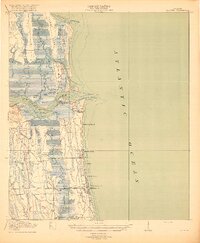
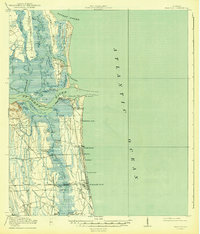
Editions of this 1918 Mayport Map
4 editions found
Other maps of this area

1917 · Orange Park
USGS Topo · 1:62,500

1918 · St Marys
USGS Topo · 1:62,500

1918 · Jacksonville
USGS Topo · 1:62,500

1918 · Orange Park
USGS Topo · 1:62,500

1918 · Palm Valley
USGS Topo · 1:62,500

1918 · Mayport
USGS Topo · 1:62,500

1919 · Fernandina
USGS Topo · 1:62,500

1919 · St Marys
USGS Topo · 1:62,500

1944 · Fernandina
USGS Topo · 1:62,500

1948 · Jacksonville
USGS Topo · 1:250,000