
1918 Map of Mayport
USGS Topo · Published 1918About this map
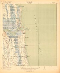
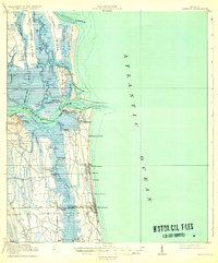
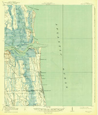
Mayport and the barrier islands of northeast Florida appear here just before the end of the Great War, during a time when the St Johns River was the primary artery for coastal commerce and naval strategy. The map reveals a landscape defined by saltwater marshes and tidal inlets, where the Florida East Coast railway and its Mayport Branch connected the growing seaside communities of Pablo Beach and Atlantic Beach to the mainland.
Find a feature on this map
54 named features on this map. Tap any name to fly to it.
Don’t see what you’re looking for? This feature index may not catch every label — zoom into the map to look around manually.
Map Details
Editions of this 1918 Mayport Map
4 editions found
Other maps of this area

1917 · Orange Park
USGS Topo · 1:62,500

1918 · St Marys
USGS Topo · 1:62,500

1918 · Jacksonville
USGS Topo · 1:62,500

1918 · Orange Park
USGS Topo · 1:62,500

1918 · Palm Valley
USGS Topo · 1:62,500

1919 · Fernandina
USGS Topo · 1:62,500

1919 · St Marys
USGS Topo · 1:62,500

1944 · Fernandina
USGS Topo · 1:62,500

1948 · Jacksonville
USGS Topo · 1:250,000

1948 · Jacksonville Beach
USGS Topo · 1:24,000