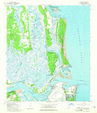
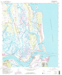
1964 Map of Mayport
USGS Topo · Published 1965About this map
The St Johns River meets the Atlantic Ocean in this mid-1960s survey, revealing a landscape defined by intricate tidal marshes and historic barrier islands. The fishing village of Mayport sits opposite Fort George Island, where the Kingsley Plantation and Mungillia House state memorials preserve the area's deep colonial and agricultural history. To the south, the Fort Caroline National Memorial and the Ribault Monument mark early European contact points along the river bluffs.
Find a feature on this map
70 named features on this map. Tap any name to fly to it.
Don’t see what you’re looking for? This feature index may not catch every label — zoom into the map to look around manually.
Map Details
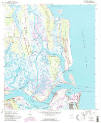
Editions of this 1964 Mayport Map
6 editions found
Other maps of this area

1918 · St Marys
USGS Topo · 1:62,500

1918 · Jacksonville
USGS Topo · 1:62,500

1918 · Mayport
USGS Topo · 1:62,500

1919 · Fernandina
USGS Topo · 1:62,500

1919 · St Marys
USGS Topo · 1:62,500

1944 · Fernandina
USGS Topo · 1:62,500

1948 · Jacksonville
USGS Topo · 1:250,000

1948 · Jacksonville Beach
USGS Topo · 1:24,000

1948 · Eastport
USGS Topo · 1:24,000

1949 · Jacksonville Beach
USGS Topo · 1:24,000
Featured Places
- Jacksonville, FL
- Mayport, Jacksonville
- East Mayport, Jacksonville
- Fort George Island, Jacksonville
- Duval County, FL