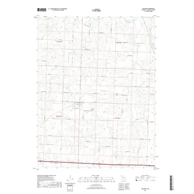
2017 Map of Mayview
USGS Topo · Published 2017About this map
Mayview is the primary settlement on this Lafayette County landscape, surrounded by a complex system of agricultural drainage and water management. The terrain is defined by the branching tributaries of Tabo Cr, Garrison Cr, and Brush Cr, interspersed with numerous artificial reservoirs and small lakes such as Lake Mizzou, Stewart Lake, and Bertz Lake. This topography suggests a landscape heavily adapted for livestock and farming, where water storage is as critical as the natural stream flow.
Find a feature on this map
59 named features on this map. Tap any name to fly to it.
Don’t see what you’re looking for? This feature index may not catch every label — zoom into the map to look around manually.
Map Details
Editions of this 2017 Mayview Map
This is the sole edition of this map. No revisions or reprints were ever made.
Other maps of this area

1885 · Warrensburg
USGS Topo · 1:125,000

1887 · Warrensburg
USGS Topo · 1:125,000

1889 · Lexington
USGS Topo · 1:125,000

1894 · Warrensburg
USGS Topo · 1:125,000

1917 · Knobnoster
USGS Topo · 1:62,500

1947 · Jefferson City
USGS Topo · 1:250,000

1949 · Mayview
USGS Topo · 1:24,000

1949 · Lexington East
USGS Topo · 1:24,000

1949 · Lexington West
USGS Topo · 1:24,000

1949 · Odessa North
USGS Topo · 1:24,000