Loading...
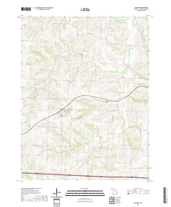
Loading map...2021 Map of Mayview
USGS Topo · Published 2021About this map
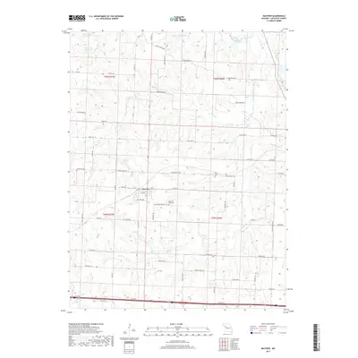
Mayview serves as the central hub of this Missouri landscape, situated within a network of rural roads and creek drainage systems in Lafayette County. The town is defined by its residential grid, including Marshall St and Orchard, while the surrounding countryside is marked by numerous family-named landmarks and historical burial sites. Local genealogy and history are preserved at Mayview - Zion Cem, Poole Cem, and Sharp Cem, which sit among the undulating terrain.
Find a feature on this map
58 named features on this map. Tap any name to fly to it.
Don’t see what you’re looking for? This feature index may not catch every label — zoom into the map to look around manually.
Map Details
Date Portrayed2021
Date Published2021
PublisherU.S. Geological Survey
Map TypeTopographic
Scale1:24,000
Physical Dimensions24 x 29 inches
Editions of this 2021 Mayview Map
This is the sole edition of this map. No revisions or reprints were ever made.
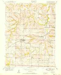
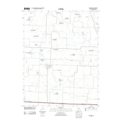
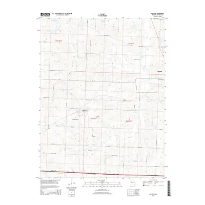
Historical Maps of Mayview Through Time
6 maps found

Featured Locations
Source Details
SourceU.S. Geological Survey
CopyrightPublic Domain