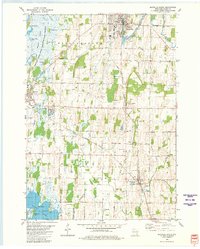
1980 Map of Mayville South
USGS Topo · Published 1981About this map
Horicon Marsh dominates the northwestern landscape of this Dodge County survey, where the Rock River feeds into a complex network of wetlands and islands like Indermuhle Island and Koch Island. The industrial and agricultural character of the 1970s is evident in the numerous Gravel Pit and Quarry sites scattered across Williamstown and Hubbard. The Chicago Milwaukee St Paul and Pacific railroad serves as a primary transit corridor, linking the manufacturing center of Mayville with smaller rail-aligned communities like Neda, Iron Ridge, and Woodland.
Find a feature on this map
53 named features on this map. Tap any name to fly to it.
Don’t see what you’re looking for? This feature index may not catch every label — zoom into the map to look around manually.
Map Details
Editions of this 1980 Mayville South Map
This is the sole edition of this map. No revisions or reprints were ever made.
Other maps of this area

1904 · Hartford
USGS Topo · 1:62,500

1955 · Waupun
USGS Topo · 1:62,500

1955 · Campbellsport
USGS Topo · 1:62,500

1955 · Horicon
USGS Topo · 1:62,500

1957 · Madison
USGS Topo · 1:250,000

1959 · Hartford
USGS Topo · 1:62,500

1959 · Nenno
USGS Topo · 1:24,000
1959 · Hartford West
USGS Topo · 1:24,000

1960 · Madison
USGS Topo · 1:250,000
1974 · Lomira
USGS Topo · 1:24,000