Loading...
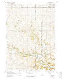
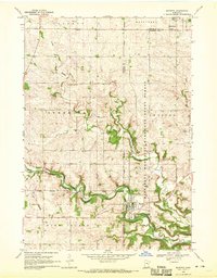
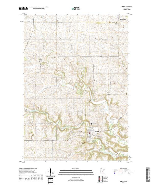
Loading map...1968 Map of Mazeppa
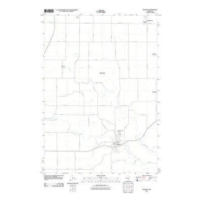
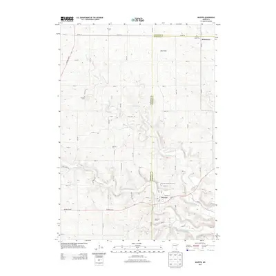
USGS Topo · Published 1991About this map
The North Fork Zumbro River carves a deep, winding path through the southeastern Minnesota landscape, serving as the primary geographical focus for this survey. The village of Mazeppa is positioned along the river's southern banks, while Bellechester sits at the northern edge near the Goodhue Co Wabasha Co line. Significant portions of the terrain are designated as the Minnesota Memorial Hardwood State Forest, illustrating the region's commitment to timber and land conservation.
Find a feature on this map
21 named features on this map. Tap any name to fly to it.
Don’t see what you’re looking for? This feature index may not catch every label — zoom into the map to look around manually.
Map Details
Date Portrayed1968
Date Published1991
PublisherU.S. Geological Survey
Map TypeTopographic
Scale1:24,000
Physical Dimensions21.21 x 27.29 inches
Editions of this 1968 Mazeppa Map
2 editions found
Historical Maps of Mazeppa Through Time
6 maps found
Featured Locations
Source Details
SourceU.S. Geological Survey
CopyrightPublic Domain