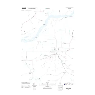
2013 Map of Mazomanie
USGS Topo · Published 2013About this map
The Wisconsin River dominates this landscape, carving a wide valley filled with features like Twin Islands, Otter Island, and Grape Island. On the southern banks, the village of Mazomanie serves as a central hub, where Black Earth Cr meets the local street grid near W Commercial St and Brodhead St. The topography is defined by significant rises such as Ferry Bluff and Twin Bluffs, which overlook the river's northern shore and the small settlement of Fair Valley.
Find a feature on this map
71 named features on this map. Tap any name to fly to it.
Don’t see what you’re looking for? This feature index may not catch every label — zoom into the map to look around manually.
Map Details
Editions of this 2013 Mazomanie Map
This is the sole edition of this map. No revisions or reprints were ever made.
Other maps of this area

1895 · Baraboo
USGS Topo · 1:62,500

1901 · Denzer
USGS Topo · 1:62,500

1907 · Cross Plains
USGS Topo · 1:62,500

1908 · Baraboo
USGS Topo · 1:62,500

1909 · Cross Plains
USGS Topo · 1:62,500

1920 · Blue Mounds
USGS Topo · 1:62,500

1922 · Blue Mounds
USGS Topo · 1:62,500

1957 · Madison
USGS Topo · 1:250,000

1958 · North Freedom
USGS Topo · 1:62,500

1959 · Baraboo
USGS Topo · 1:62,500