Loading...
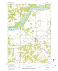
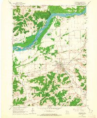
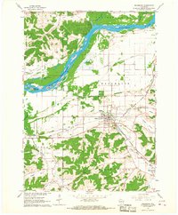
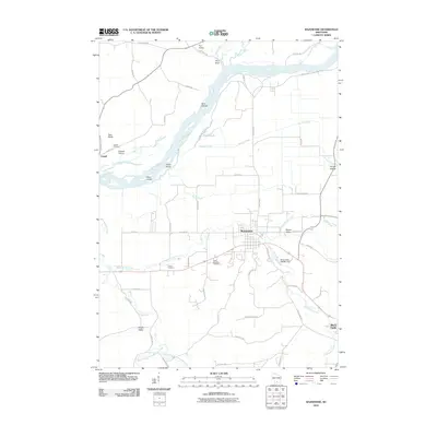
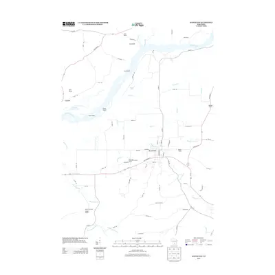
Loading map...1962 Map of Mazomanie
USGS Topo · Published 1981About this map
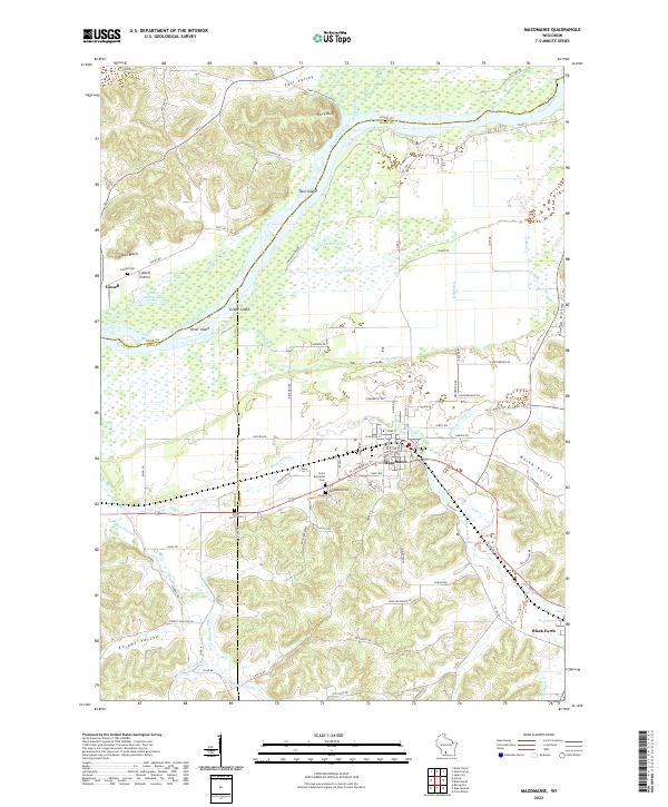
The Wisconsin River dominates this 1962 landscape, winding through a complex network of islands and bluffs where Dane, Sauk, and Iowa counties meet. The village of Mazomanie serves as the primary hub, situated along the Chicago Milwaukee St Paul and Pacific railroad line. This rail corridor follows the drainage of Black Earth Creek and Halfway Prairie Creek, illustrating how the valley floor dictated early transit and settlement patterns in the Driftless Area.
Find a feature on this map
44 named features on this map. Tap any name to fly to it.
Don’t see what you’re looking for? This feature index may not catch every label — zoom into the map to look around manually.
Map Details
Date Portrayed1962
Date Published1981
PublisherU.S. Geological Survey
Map TypeTopographic
Scale1:24,000
Physical Dimensions22.58 x 27.36 inches
Editions of this 1962 Mazomanie Map
3 editions found
Historical Maps of Black Earth Through Time
6 maps found
Featured Locations
Source Details
SourceU.S. Geological Survey
CopyrightPublic Domain