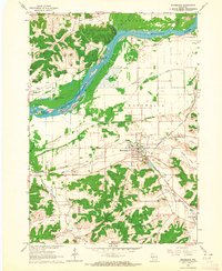
1962 Map of Mazomanie
USGS Topo · Published 1964About this map
The Wisconsin River creates a dynamic natural boundary in this early 1960s survey, winding past Ferry Bluff and sheltering various landforms like Otter Island and Grape Island. The village of Mazomanie serves as the primary hub, where the Chicago Milwaukee St Paul and Pacific railroad bisects the landscape alongside Black Earth Creek. This era shows a community defined by its water-rich geography, with numerous named lakes such as Deacon Thomas Lake and Fishers Lake punctuating the river valley.
Find a feature on this map
41 named features on this map. Tap any name to fly to it.
Don’t see what you’re looking for? This feature index may not catch every label — zoom into the map to look around manually.
Map Details
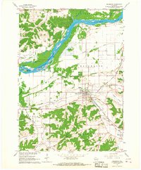
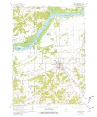
Editions of this 1962 Mazomanie Map
3 editions found
Other maps of this area

1895 · Baraboo
USGS Topo · 1:62,500

1901 · Denzer
USGS Topo · 1:62,500

1907 · Cross Plains
USGS Topo · 1:62,500

1908 · Baraboo
USGS Topo · 1:62,500

1909 · Cross Plains
USGS Topo · 1:62,500

1920 · Blue Mounds
USGS Topo · 1:62,500

1922 · Blue Mounds
USGS Topo · 1:62,500

1957 · Madison
USGS Topo · 1:250,000

1958 · North Freedom
USGS Topo · 1:62,500

1959 · Baraboo
USGS Topo · 1:62,500