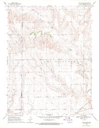
1969 Map of Mc Allaster
USGS Topo · Published 1971About this map
McAllaster anchors the southern edge of this West Kansas landscape, situated where the Union Pacific railroad line cuts across the High Plains. The terrain is defined by the winding course of the North Fork Smoky Hill River as it moves through the eastern half of the quadrangle, joined by tributaries such as Sand Creek and Lake Creek. The area’s geology and natural resources are evident in the presence of several Springs and industrial sites like the Marl Pit and Gravel Pit, which highlight the local extractive activities of the era.
Find a feature on this map
12 named features on this map. Tap any name to fly to it.
Don’t see what you’re looking for? This feature index may not catch every label — zoom into the map to look around manually.
Map Details
Editions of this 1969 Mc Allaster Map
2 editions found
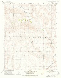
Other maps of this area

1954 · Goodland
USGS Topo · 1:250,000

1955 · Scott City
USGS Topo · 1:250,000

1956 · Goodland
USGS Topo · 1:250,000

1957 · Goodland
USGS Topo · 1:250,000

1958 · Scott City
USGS Topo · 1:250,000

1959 · Wallace
USGS Topo · 1:62,500

1959 · Harris Draw
USGS Topo · 1:62,500

1969 · Mc Allaster NW
USGS Topo · 1:24,000

1969 · Russell Springs 2 NW
USGS Topo · 1:24,000

1969 · Mc Allaster SE
USGS Topo · 1:24,000