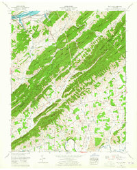
1961 Map of Mc Cloud
USGS Topo · Published 1965About this map
Bays Mountains dominate this 1960s landscape, forming a ridge system that defines the border between Hawkins and Greene Counties. The Holston River and Cherokee Lake provide a northern boundary, where the industrial presence of the John Sevier Steam Plant stands near the Southern railroad line. Settlement is concentrated in the fertile valleys and hollows between the peaks, with the Webster Valley and Lonesome Valley hosting numerous family-named landmarks and rural institutions.
Find a feature on this map
73 named features on this map. Tap any name to fly to it.
Don’t see what you’re looking for? This feature index may not catch every label — zoom into the map to look around manually.
Map Details
Editions of this 1961 Mc Cloud Map
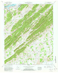
2 editions found
Other maps of this area

1883 · Morristown
USGS Topo · 1:125,000

1892 · Greeneville
USGS Topo · 1:125,000

1893 · Morristown
USGS Topo · 1:125,000

1895 · Morristown
USGS Topo · 1:125,000

1896 · Greeneville
USGS Topo · 1:125,000

1904 · Greeneville
USGS Topo · 1:125,000

1935 · Surgoinsville
USGS Topo · 1:48,000

1935 · Baileyton
USGS Topo · 1:24,000

1935 · Rogersville
USGS Topo · 1:48,000

1935 · McCloud
USGS Topo · 1:24,000