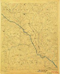
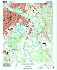
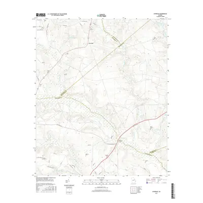
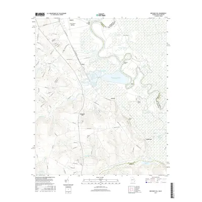
1892 Map of Mc Cormick
USGS Topo · Published 1899About this map
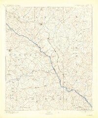
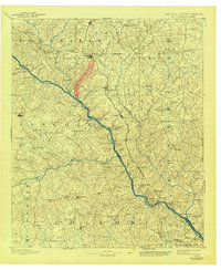
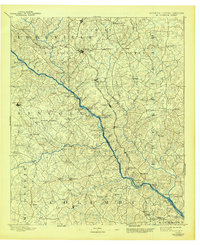
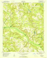
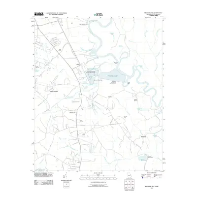
The Savannah River serves as the dominant spine of this late 19th-century landscape, acting as both a natural divider and a vital transport corridor between Georgia and South Carolina. This river-centered economy is punctuated by a high density of crossings, including Rimson Ferry, Barksdale Ferry, and Kilkrase Ferry, long before modern bridges spanned the waterway. On the South Carolina side, the Savannah Valley Railroad cuts through Mc. McCormick and Bordeaux, while the Port Royal and Western Carolina Railroad links Parksville and Modoc. The terrain is deeply etched with numerous creeks and branches, supporting early industry like Searle Mill and Cade Mill. Sparse settlements such as Double Branches, Lincolnton, and Willington are connected by a network of rural roads, offering a detailed view of the region's agricultural and transit infrastructure before 20th-century development.
Find a feature on this map
129 named features on this map. Tap any name to fly to it.
Don’t see what you’re looking for? This feature index may not catch every label — zoom into the map to look around manually.
Map Details
Editions of this 1892 Mc Cormick Map
5 editions found

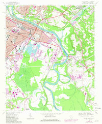
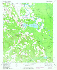
Historical Maps of Augusta Through Time
30 maps found
1892 Mc Cormick
Richmond County, GA

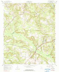
1912 Mc Cormick
Richmond County, GA

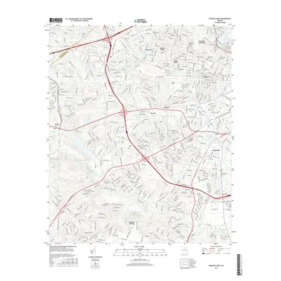
1943 Augusta East
Richmond County, GA

1950 Augusta West
Richmond County, GA
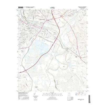
1950 Avondale
Richmond County, GA

1957 Augusta West
Richmond County, GA
1957 Avondale
Richmond County, GA
1965 Augusta East
Richmond County, GA
1965 Mechanic Hill
Richmond County, GA
1995 Augusta East
Richmond County, GA
2011 Augusta East
Richmond County, GA
2011 Augusta West
Richmond County, GA
2011 Avondale
Richmond County, GA
2011 Mechanic Hill
Richmond County, GA
2014 Augusta East
Richmond County, GA
2014 Augusta West
Richmond County, GA
2014 Avondale
Richmond County, GA
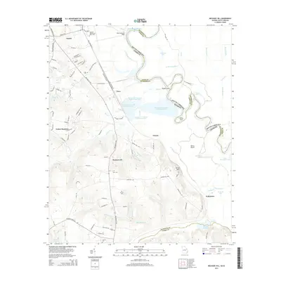
2014 Mechanic Hill
Richmond County, GA
2017 Augusta East
Richmond County, GA
2017 Augusta West
Richmond County, GA
2017 Avondale
Richmond County, GA
2017 Mechanic Hill
Richmond County, GA
2020 Augusta East
Richmond County, GA

2020 Augusta West
Richmond County, GA
2020 Avondale
Richmond County, GA
2020 Mechanic Hill
Richmond County, GA
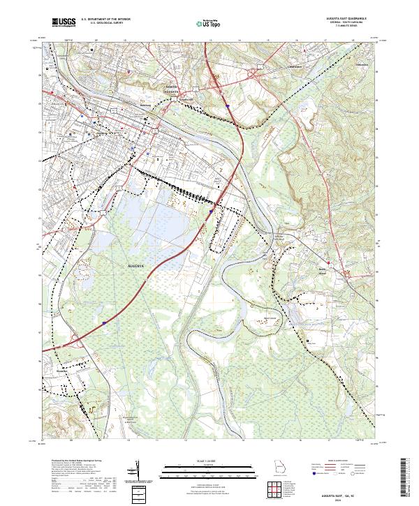
2024 Augusta East
Richmond County, GA
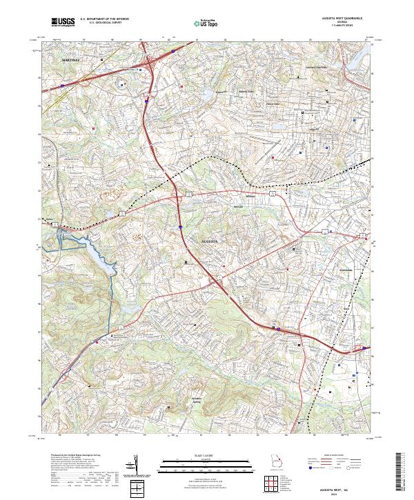
2024 Augusta West
Richmond County, GA
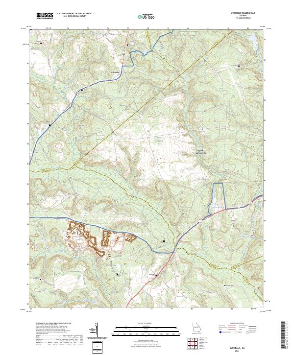
2024 Avondale
Richmond County, GA
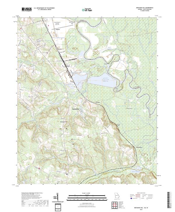
2024 Mechanic Hill
Richmond County, GA