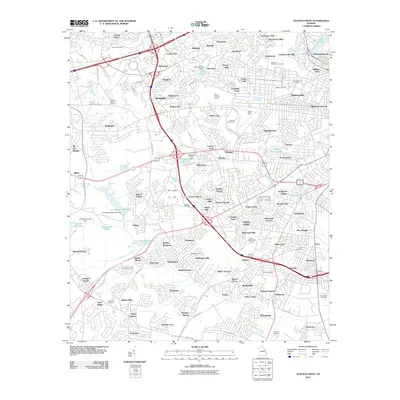
1892 Map of Mc Cormick
USGS Topo · Published 1913About this map
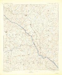
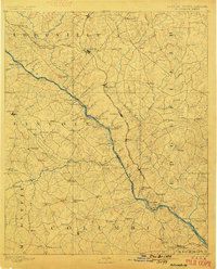
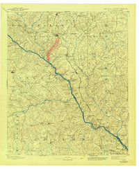
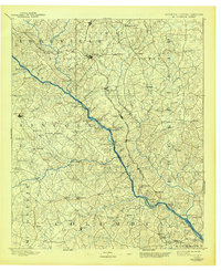
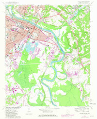
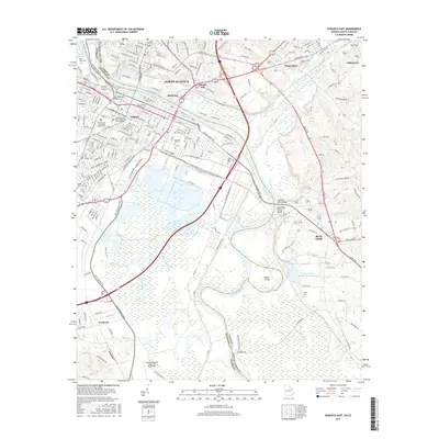
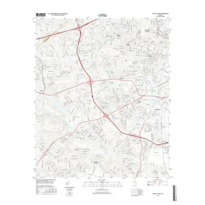
The Savannah River serves as the central artery for this late 19th-century landscape, defining the state boundary between Georgia and South Carolina. Before modern dams altered the river's course, numerous crossings like Ferguson Ferry, Kilkrase Ferry, and Price Ferry provided essential connectivity for agricultural trade. On the South Carolina side, the Savannah Valley Railroad and the Port Royal and Western Carolina Railroad intersect at Mc Cormick, marking it as a significant regional transit hub.
Find a feature on this map
131 named features on this map. Tap any name to fly to it.
Don’t see what you’re looking for? This feature index may not catch every label — zoom into the map to look around manually.
Map Details
Editions of this 1892 Mc Cormick Map
5 editions found

Historical Maps of Augusta Through Time
30 maps found
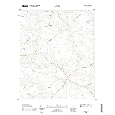
1892 Mc Cormick
Richmond County, GA

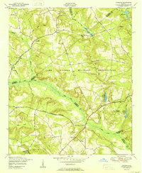
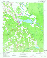
1912 Mc Cormick
Richmond County, GA

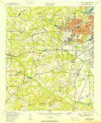
1943 Augusta East
Richmond County, GA
1950 Augusta West
Richmond County, GA
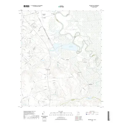
1950 Avondale
Richmond County, GA
1957 Augusta West
Richmond County, GA
1957 Avondale
Richmond County, GA
1965 Augusta East
Richmond County, GA
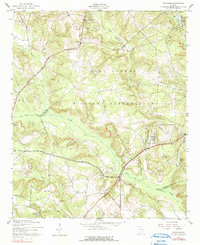
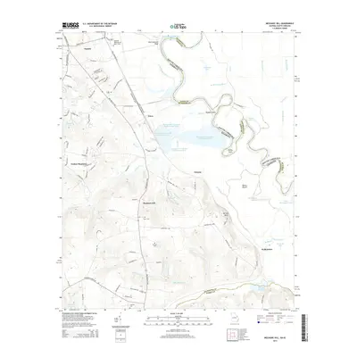
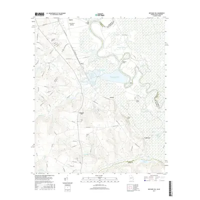
1965 Mechanic Hill
Richmond County, GA
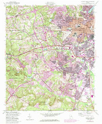
1995 Augusta East
Richmond County, GA
2011 Augusta East
Richmond County, GA
2011 Augusta West
Richmond County, GA
2011 Avondale
Richmond County, GA
2011 Mechanic Hill
Richmond County, GA
2014 Augusta East
Richmond County, GA
2014 Augusta West
Richmond County, GA
2014 Avondale
Richmond County, GA
2014 Mechanic Hill
Richmond County, GA
2017 Augusta East
Richmond County, GA
2017 Augusta West
Richmond County, GA
2017 Avondale
Richmond County, GA
2017 Mechanic Hill
Richmond County, GA
2020 Augusta East
Richmond County, GA

2020 Augusta West
Richmond County, GA
2020 Avondale
Richmond County, GA
2020 Mechanic Hill
Richmond County, GA
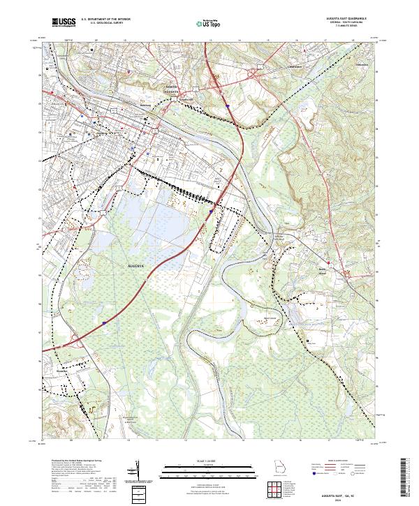
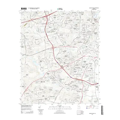
2024 Augusta East
Richmond County, GA
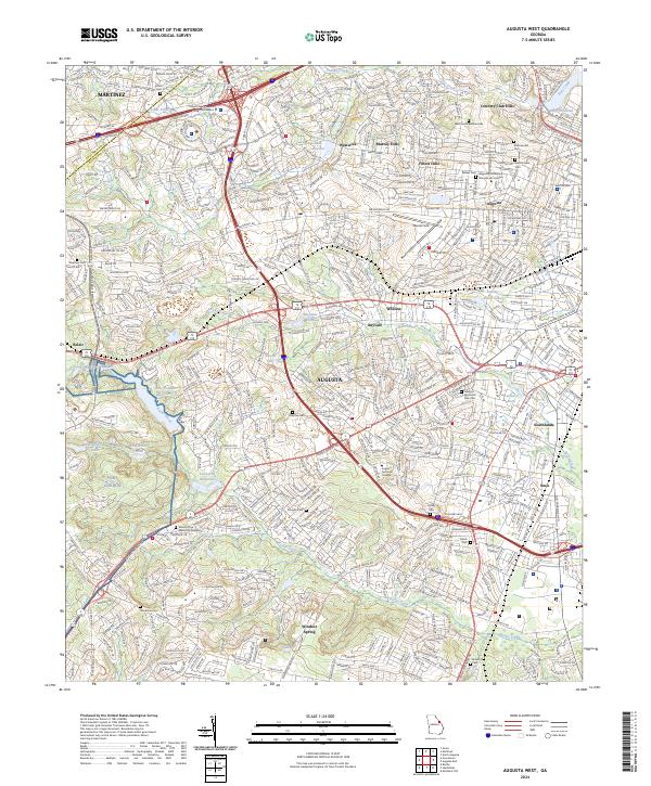
2024 Augusta West
Richmond County, GA
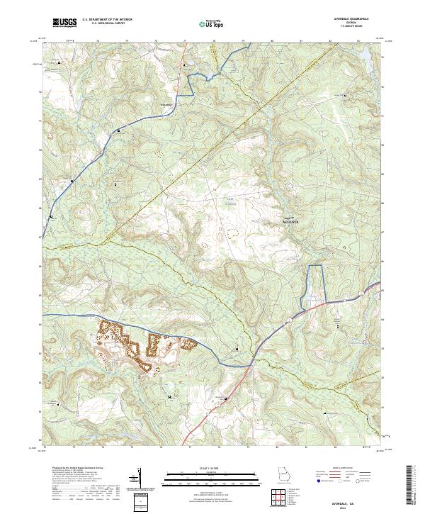
2024 Avondale
Richmond County, GA
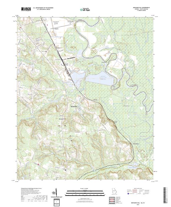
2024 Mechanic Hill
Richmond County, GA