
1952 Map of Mc Coy Spring
USGS Topo · Published 1953About this map
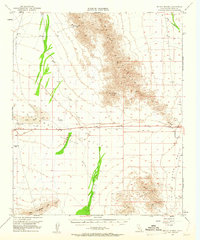
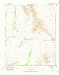
Chuckwalla Valley (Depression) dominates the central landscape of this 1952 Riverside County survey, revealing the remote water sources essential for desert survival and early industry. Settlement patterns are sparse, defined primarily by isolated water points like Hopkins Well, Teague Well, and the already labeled Ford Well (Aban'd). These wells and the seasonal Ford Dry Lake provided the only reprieve for travelers and workers in the arid basin between the Mc Coy Mountains and the Mullin Mountains.
Find a feature on this map
19 named features on this map. Tap any name to fly to it.
Don’t see what you’re looking for? This feature index may not catch every label — zoom into the map to look around manually.
Map Details
Editions of this 1952 Mc Coy Spring Map
3 editions found
Other maps of this area

1942 · Blythe
USGS Topo · 1:250,000

1945 · Big Maria Mtns
USGS Topo · 1:62,500

1945 · Midland
USGS Topo · 1:62,500

1945 · Cibola
USGS Topo · 1:62,500

1951 · Big Maria Mts
USGS Topo · 1:62,500

1951 · McCoy Wash
USGS Topo · 1:24,000

1951 · Cibola
USGS Topo · 1:62,500

1952 · Midland
USGS Topo · 1:62,500

1952 · Sidewinder Well
USGS Topo · 1:62,500

1952 · Palen Mountains
USGS Topo · 1:62,500