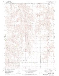
1978 Map of Mc Donald NW
USGS Topo · Published 1979About this map
Jones Canyon and the forks of Burntwood Creek carve through the High Plains landscape of Northwest Kansas in this late 1970s survey. The map documentation reveals a remote agricultural region punctuated by small points of interest like David and Mears, alongside a dedicated Landing Strip that suggests the importance of aerial access for farming or transport in this sparsely populated corner of Cheyenne County.
Find a feature on this map
14 named features on this map. Tap any name to fly to it.
Don’t see what you’re looking for? This feature index may not catch every label — zoom into the map to look around manually.
Map Details
Editions of this 1978 Mc Donald NW Map
This is the sole edition of this map. No revisions or reprints were ever made.
Other maps of this area

1950 · Mc Donald
USGS Topo · 1:62,500

1951 · Bird City North
USGS Topo · 1:62,500

1951 · Mc Donald
USGS Topo · 1:62,500

1954 · McCook
USGS Topo · 1:250,000

1954 · Goodland
USGS Topo · 1:250,000

1956 · Goodland
USGS Topo · 1:250,000

1957 · McCook
USGS Topo · 1:250,000

1957 · Goodland
USGS Topo · 1:250,000

1958 · McCook
USGS Topo · 1:250,000

1961 · Benkelman
USGS Topo · 1:24,000