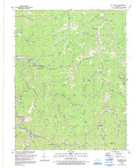
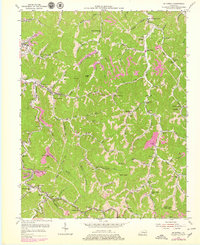
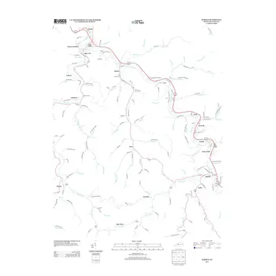
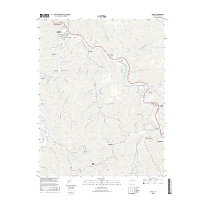
1992 Map of Mc Dowell
USGS Topo · Published 1992About this map
Mud Creek and its many winding tributaries define the settlement patterns of this eastern Kentucky region in the early 1990s. The landscape is characterized by a dense network of coal mining operations, with numerous mines dotting the hillsides above community centers like McDowell and Teaberry. The narrow valleys, or hollows, dictate the placement of local infrastructure, including the CSX Transportation rail line and family-named landmarks such as Rich Hollow and Rough Knob.
Find a feature on this map
86 named features on this map. Tap any name to fly to it.
Don’t see what you’re looking for? This feature index may not catch every label — zoom into the map to look around manually.
Map Details
Editions of this 1992 Mc Dowell Map
This is the sole edition of this map. No revisions or reprints were ever made.
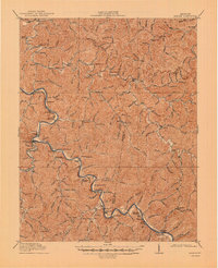
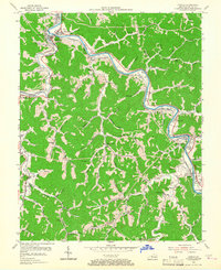
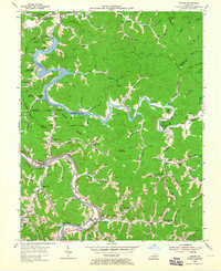
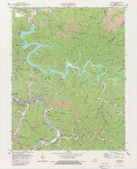
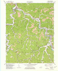
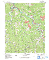
Historical Maps of East McDowell Through Time
20 maps found

1914 Laynesville
Floyd County, KY
1916 Harold
Floyd County, KY
1954 Harold
Floyd County, KY
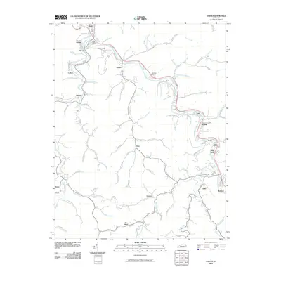
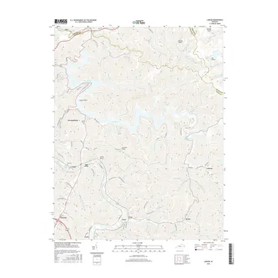
1954 Lancer
Floyd County, KY
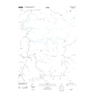
1954 Mc Dowell
Floyd County, KY
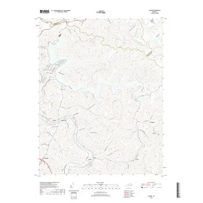
1978 Lancer
Floyd County, KY
1979 Harold
Floyd County, KY
1992 Harold
Floyd County, KY

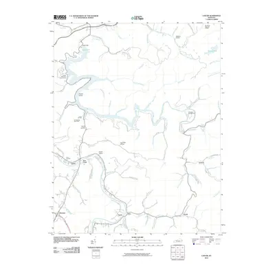
1992 Lancer
Floyd County, KY
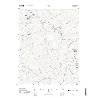
1992 Mc Dowell
Floyd County, KY
2010 Harold
Floyd County, KY
2010 Lancer
Floyd County, KY
2013 Harold
Floyd County, KY
2013 Lancer
Floyd County, KY
2016 Harold
Floyd County, KY
2016 Lancer
Floyd County, KY
2019 Harold
Floyd County, KY
2019 Lancer
Floyd County, KY
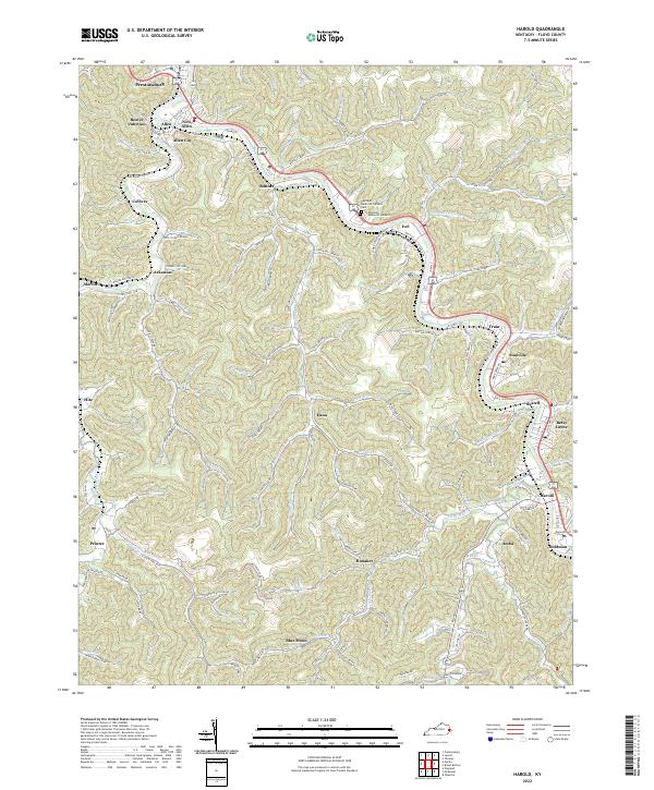
2022 Harold
Floyd County, KY
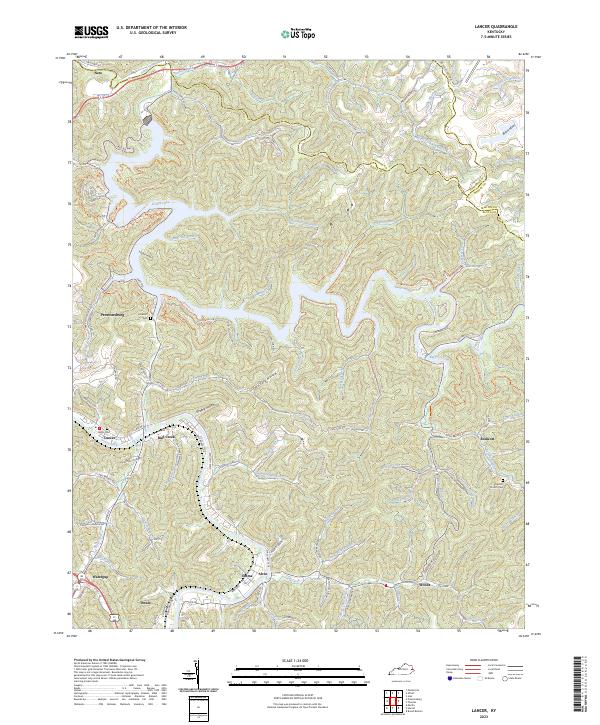
2023 Lancer
Floyd County, KY