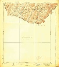
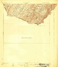
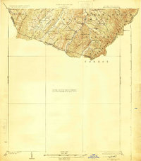
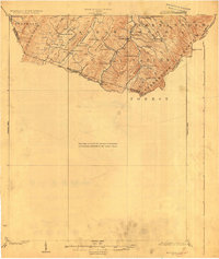
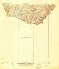
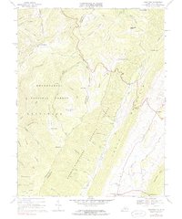
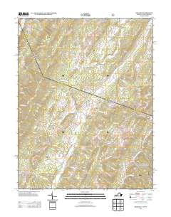
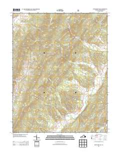
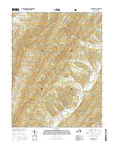
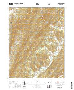
1924 Map of Mc Dowell
USGS Topo · Published 1930About this map
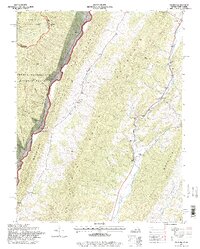
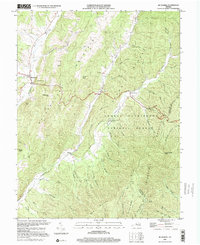
Shenandoah Mountain and its neighboring ridges define the landscape of this region along the border of Virginia and West Virginia. Surveyed in the early 1920s, the map reveals a decentralized pattern of high-altitude settlement where life centered around small institutions like St Paul Church and Crummet Church. The presence of numerous isolated educational sites, including Gammel School, Lone Oak School, and Mt Hall School, indicates a population dispersed through the valleys of Blackthorn Creek and Whitethorn Creek.
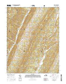
Find a feature on this map
40 named features on this map. Tap any name to fly to it.
Don’t see what you’re looking for? This feature index may not catch every label — zoom into the map to look around manually.
Map Details
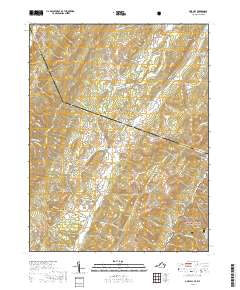
Editions of this 1924 Mc Dowell Map
5 editions found
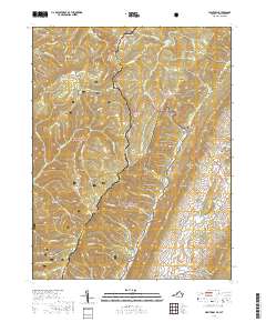
Historical Maps of West Augusta Through Time
31 maps found
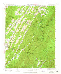
1924 Mc Dowell
Highland County, VA
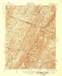
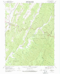
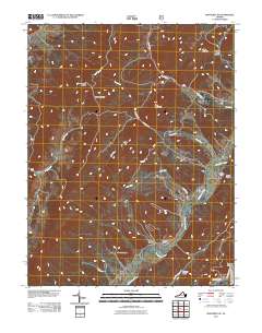
1944 Mc Dowell
Highland County, VA
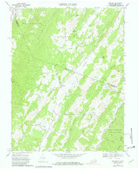
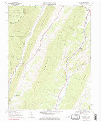
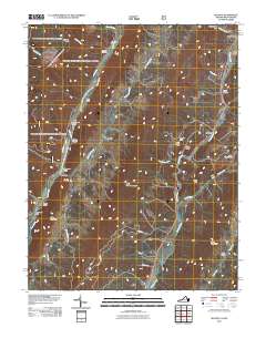
1946 Mc Dowell
Highland County, VA
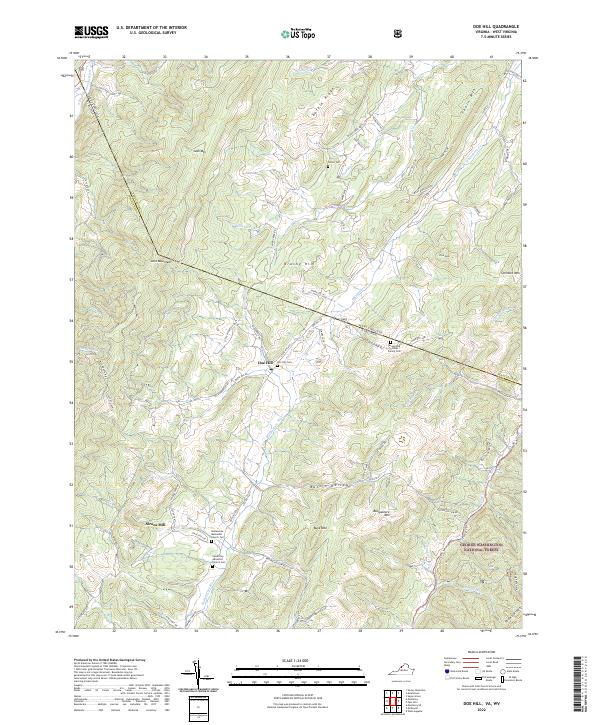
1968 Doe Hill
Highland County, VA
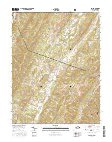
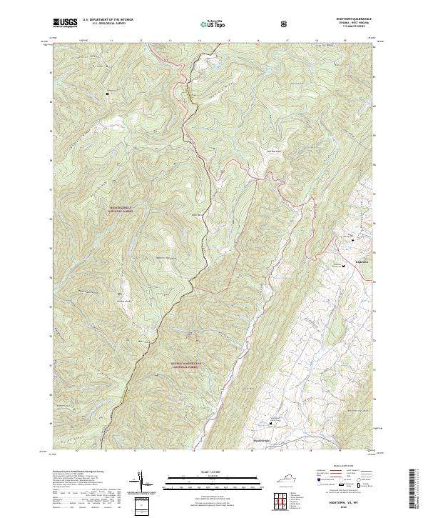
1969 Hightown
Highland County, VA
1969 Mc Dowell
Highland County, VA

1969 Monterey SE
Highland County, VA
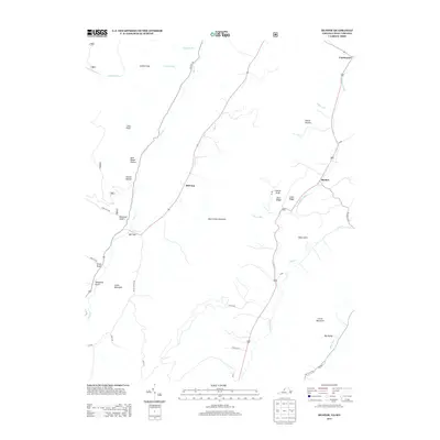
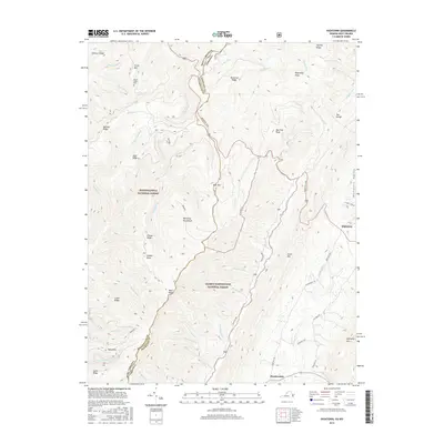
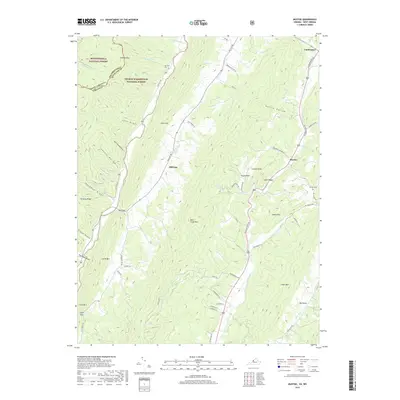
1969 Mustoe
Highland County, VA
1995 Hightown
Highland County, VA
1995 Mustoe
Highland County, VA
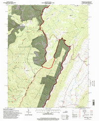
1999 Mc Dowell
Highland County, VA
2011 Doe Hill
Highland County, VA
2011 Hightown
Highland County, VA
2011 Monterey SE
Highland County, VA
2011 Mustoe
Highland County, VA
2013 Doe Hill
Highland County, VA
2013 Hightown
Highland County, VA
2013 Monterey SE
Highland County, VA
2013 Mustoe
Highland County, VA
2016 Doe Hill
Highland County, VA
2016 Hightown
Highland County, VA
2016 Monterey SE
Highland County, VA
2016 Mustoe
Highland County, VA
2019 Doe Hill
Highland County, VA
2019 Hightown
Highland County, VA
2019 Monterey SE
Highland County, VA
2019 Mustoe
Highland County, VA
2022 Doe Hill
Highland County, VA
2022 Hightown
Highland County, VA
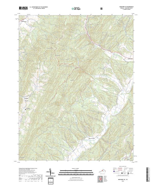
2022 Monterey SE
Highland County, VA

2022 Mustoe
Highland County, VA