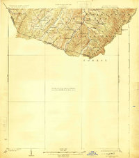
1924 Map of Mc Dowell
USGS Topo · Published 1924About this map
Jack Mountain and the high ridges of the Shenandoah Mountain range dominate this 1920s topography, where the border between West Virginia and Virginia follows the rugged height of the land. Deep in these mountains, a rural social infrastructure of one-room schools and country churches is clearly mapped. Settlements like Palo Alto appear as small clusters of structures at the edge of the Shenandoah National Forest. Notable for genealogists, the map identifies specific community landmarks such as St Paul Church, Wilfong Church, and Crummet Church, alongside numerous mountain schools like Laurel Hill School and Lone Oak School. The landscape is defined by the complex drainage of the South Fork, fed by numerous runs and creeks including Blackthorn Creek and Whitethorn Creek which carve narrow valleys between the parallel ridges of Thorn Mountain and Stone Mountain.
Find a feature on this map
43 named features on this map. Tap any name to fly to it.
Don’t see what you’re looking for? This feature index may not catch every label — zoom into the map to look around manually.
Map Details
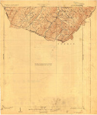
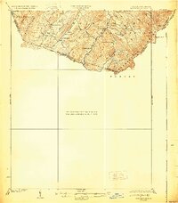
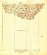
Editions of this 1924 Mc Dowell Map
5 editions found

Other maps of this area

1889 · Beverly
USGS Topo · 1:125,000

1892 · Beverly
USGS Topo · 1:125,000

1892 · Franklin
USGS Topo · 1:125,000

1894 · Staunton
USGS Topo · 1:125,000

1896 · Franklin
USGS Topo · 1:125,000

1901 · Monterey
USGS Topo · 1:125,000

1922 · Fort Seybert
USGS Topo · 1:48,000

1922 · Spruce Knob
USGS Topo · 1:48,000

1922 · Circleville
USGS Topo · 1:62,500

1924 · Circleville
USGS Topo · 1:48,000