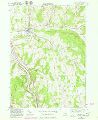
1955 Map of Mc Graw
USGS Topo · Published 1979About this map
McGraw serves as a primary hub of settlement in this Central New York landscape, situated where Trout Brook flows west toward the Tioughnioga River. The map reveals a transition from the valley villages to the high ridges of Hicks Hill and Snyder Hill, where large tracts of land are designated as State Reforestation Area. These managed forests reflect mid-century land-use shifts as formerly cleared hill farms were reclaimed by the state.
Find a feature on this map
31 named features on this map. Tap any name to fly to it.
Don’t see what you’re looking for? This feature index may not catch every label — zoom into the map to look around manually.
Map Details
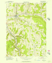
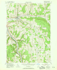
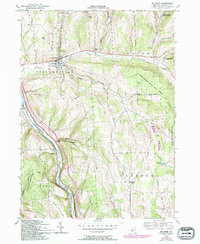
Editions of this 1955 Mc Graw Map
4 editions found
Other maps of this area

1903 · Cortland
USGS Topo · 1:62,500

1903 · Harford
USGS Topo · 1:62,500

1904 · Greene
USGS Topo · 1:62,500

1904 · Pitcher
USGS Topo · 1:62,500

1906 · Catatonk
USGS Topo · 1:125,000

1943 · Cincinnatus
USGS Topo · 1:24,000

1943 · Cuyler
USGS Topo · 1:24,000
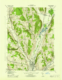
1944 · Homer
USGS Topo · 1:31,680

1944 · Cortland
USGS Topo · 1:31,680
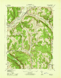
1944 · Cuyler
USGS Topo · 1:31,680