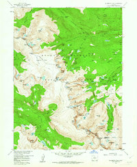
1957 Map of Mc Henrys Peak
USGS Topo · Published 1962About this map
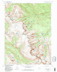
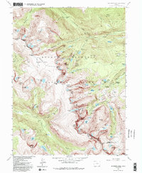
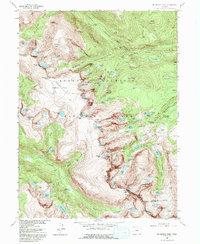
The Continental Divide winds through this high-altitude landscape, marking the hydrological split between the Grand and Larimer county lines. Within the heart of Rocky Mountain National Park, the 1957 field survey reveals a terrain defined by active ice and water, from the Sprague Glacier and Tyndall Glacier to the headwaters of the Big Thompson River. The map captures the infrastructure of early park management and recreation, including the Patrol Cabin near Hayden Spire and the Ranger Station situated east of Dream Lake. Transportation through this vertical environment is limited to significant footpaths like the Bighorn Ditch Trail and the Tonahutu Creek Trail, alongside the notable Trail Ridge Road carving through the northern heights. Glacial features like the Bierstadt Moraine and the isolated Andrews Glacier reflect the geological forces still visible in the mid-century wilderness.
Find a feature on this map
125 named features on this map. Tap any name to fly to it.
Don’t see what you’re looking for? This feature index may not catch every label — zoom into the map to look around manually.
Map Details
Editions of this 1957 Mc Henrys Peak Map
8 editions found
Other maps of this area

1915 · Longs Peak
USGS Topo · 1:125,000

1919 · Rocky Mountain National Park
USGS Topo · 1:125,000

1954 · Greeley
USGS Topo · 1:250,000

1957 · Greeley
USGS Topo · 1:250,000

1957 · Mc Henrys Peak
USGS Topo · 1:24,000

1957 · Trail Ridge
USGS Topo · 1:24,000

1957 · Allens Park
USGS Topo · 1:24,000

1957 · Longs Peak
USGS Topo · 1:24,000

1957 · Estes Park
USGS Topo · 1:24,000

1958 · Greeley
USGS Topo · 1:250,000