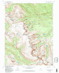
1957 Map of Mc Henrys Peak
USGS Topo · Published 1992About this map
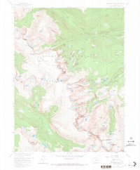
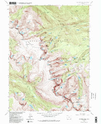
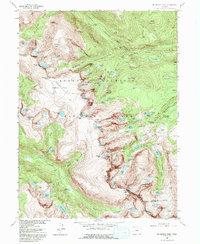
McHenrys Peak and the high ridges of the Continental Divide anchor this mid-century topographical survey of the central Rocky Mountain National Park. The landscape is defined by its extreme alpine hydrology, featuring a network of high-elevation basins such as Bighorn Flats and numerous glacial remnants including Spruce Glacier and Tyndall Glacier. At this stage in the park's history, the map documents the established backcountry infrastructure, including a Patrol Cabin near Spruce Lake and a Ranger Station situated by Bear Lake. The source material captures the transition of the Big Thompson River from its high mountain headwaters at The Pool down through Canyon. Significant peaks like Hallett Peak, Otis Peak, and Taylor Peak are mapped alongside a complex system of namesake water bodies like Loomis Lake and Lake Helene, illustrating the intricate drainage patterns that characterize this portion of the Front Range before more modern climate shifts affected the visible ice fields.
Find a feature on this map
123 named features on this map. Tap any name to fly to it.
Don’t see what you’re looking for? This feature index may not catch every label — zoom into the map to look around manually.
Map Details
Editions of this 1957 Mc Henrys Peak Map
8 editions found
Other maps of this area

1915 · Longs Peak
USGS Topo · 1:125,000

1919 · Rocky Mountain National Park
USGS Topo · 1:125,000

1954 · Greeley
USGS Topo · 1:250,000

1957 · Greeley
USGS Topo · 1:250,000

1957 · Mc Henrys Peak
USGS Topo · 1:24,000

1957 · Trail Ridge
USGS Topo · 1:24,000

1957 · Allens Park
USGS Topo · 1:24,000

1957 · Longs Peak
USGS Topo · 1:24,000

1957 · Estes Park
USGS Topo · 1:24,000

1958 · Greeley
USGS Topo · 1:250,000