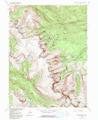
1957 Map of Mc Henrys Peak
USGS Topo · Published 1992About this map
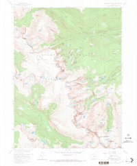
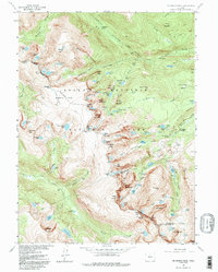
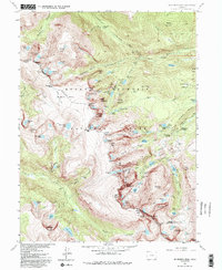
The Continental Divide carves a jagged path through this high-altitude landscape, separating the headwaters of the Big Thompson River from the westward-draining slopes of Rocky Mountain National Park. This 1957 field-checked survey reveals the dramatic glacial geology of the era, where active ice masses like Sprague Glacier and Tyndall Glacier sit adjacent to deep basins such as Glacier Gorge. The map documents the infrastructure of park management and early tourism, noting the Ranger Station near Bierstadt Lake and a remote Patrol Cabin situated along the drainage of Spruce Creek. High-elevation passes including Sprague Pass and Ptarmigan Pass offer a record of the primitive routes used to navigate these peaks before modern development, while the northern edge shows the early alignment of the Trail Ridge Road as it skirts the glacial cirques.
Find a feature on this map
124 named features on this map. Tap any name to fly to it.
Don’t see what you’re looking for? This feature index may not catch every label — zoom into the map to look around manually.
Map Details
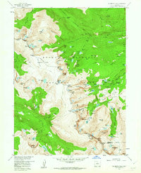
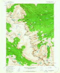
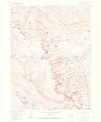
Editions of this 1957 Mc Henrys Peak Map
8 editions found
Other maps of this area

1915 · Longs Peak
USGS Topo · 1:125,000

1919 · Rocky Mountain National Park
USGS Topo · 1:125,000

1954 · Greeley
USGS Topo · 1:250,000

1957 · Greeley
USGS Topo · 1:250,000

1957 · Mc Henrys Peak
USGS Topo · 1:24,000

1957 · Trail Ridge
USGS Topo · 1:24,000

1957 · Allens Park
USGS Topo · 1:24,000

1957 · Longs Peak
USGS Topo · 1:24,000

1957 · Estes Park
USGS Topo · 1:24,000

1958 · Greeley
USGS Topo · 1:250,000