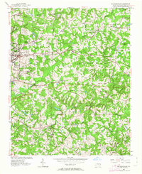
1952 Map of Mc Leansville
USGS Topo · Published 1963About this map
McLeansville and the eastern outskirts of Greensboro define this mid-century landscape, where the Southern railroad corridor facilitates the growth of rural communities like Bessemer and Sedalia. The terrain is deeply carved by the headwaters of the Buffalo Creek and Alamance Creek systems, creating a network of small ridges and valleys that shaped early industrial and social locations. This geography supported early grain processing at sites like Troglers Mill and Stewarts Mill, while also hosting several historically significant congregations such as North Buffalo Chapel and Mt Zion Ch.
Find a feature on this map
46 named features on this map. Tap any name to fly to it.
Don’t see what you’re looking for? This feature index may not catch every label — zoom into the map to look around manually.
Map Details
Editions of this 1952 Mc Leansville Map
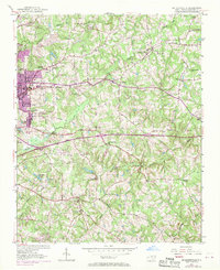
Other maps of this area

1951 · Lake Brandt
USGS Topo · 1:24,000

1951 · Browns Summit
USGS Topo · 1:24,000

1951 · Greensboro
USGS Topo · 1:24,000

1952 · Mc Leansville
USGS Topo · 1:24,000

1953 · Raleigh
USGS Topo · 1:250,000

1953 · Greensboro
USGS Topo · 1:250,000

1954 · Greensboro
USGS Topo · 1:250,000

1954 · Raleigh
USGS Topo · 1:250,000

1962 · Greensboro
USGS Topo · 1:250,000

1966 · Greensboro
USGS Topo · 1:250,000