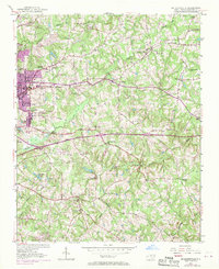
1952 Map of Mc Leansville
USGS Topo · Published 1970About this map
The rolling landscape of eastern Guilford County is defined here by the headwaters of the Buffalo and Alamance Creeks. Rural life in the mid-20th century is anchored by a dense network of country churches and community centers, including Mt Zion Ch and Bethel Ch. To the west, the intensifying footprint of Greensboro is visible near Bessemer, where the Carolina Hospital and Radio Park Golf Course mark the transition from agricultural land to suburban expansion.
Find a feature on this map
41 named features on this map. Tap any name to fly to it.
Don’t see what you’re looking for? This feature index may not catch every label — zoom into the map to look around manually.
Map Details
Editions of this 1952 Mc Leansville Map
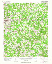
Other maps of this area

1951 · Lake Brandt
USGS Topo · 1:24,000

1951 · Browns Summit
USGS Topo · 1:24,000

1951 · Greensboro
USGS Topo · 1:24,000

1952 · Mc Leansville
USGS Topo · 1:24,000

1953 · Raleigh
USGS Topo · 1:250,000

1953 · Greensboro
USGS Topo · 1:250,000

1954 · Greensboro
USGS Topo · 1:250,000

1954 · Raleigh
USGS Topo · 1:250,000

1962 · Greensboro
USGS Topo · 1:250,000

1966 · Greensboro
USGS Topo · 1:250,000