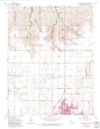
1965 Map of Mc Pherson North
USGS Topo · Published 1980About this map
The northern reaches of McPherson are documented here during a period of transition as the city expanded northward toward Hilton. This 1965 survey, updated with 1978 aerial data, highlights the city's growth with the addition of Lakeside Park and essential civic infrastructure like the Hospital and High Sch. The landscape is a mix of agricultural utility and mid-century recreation, featuring the McPherson Country Club and the Rolling Acres Golf Club.
Find a feature on this map
26 named features on this map. Tap any name to fly to it.
Don’t see what you’re looking for? This feature index may not catch every label — zoom into the map to look around manually.
Map Details
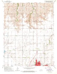
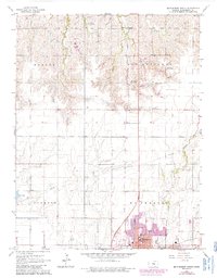
Editions of this 1965 Mc Pherson North Map
3 editions found
Other maps of this area

1891 · Hutchinson
USGS Topo · 1:125,000

1892 · Salina
USGS Topo · 1:125,000

1893 · Hutchinson
USGS Topo · 1:125,000

1942 · Salina
USGS Topo · 1:125,000

1955 · Hutchinson
USGS Topo · 1:250,000

1959 · Hutchinson
USGS Topo · 1:250,000

1964 · Marquette
USGS Topo · 1:24,000

1964 · Conway
USGS Topo · 1:24,000

1965 · Mc Pherson South
USGS Topo · 1:24,000

1965 · Galva
USGS Topo · 1:24,000