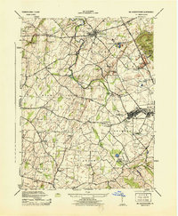
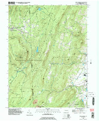
1944 Map of Mc Sherrystown
USGS Topo · Published 1944This historical map portrays the area of Mc Sherrystown in 1944, primarily covering Adams County. Featuring a scale of 1:31680, this map provides a highly detailed snapshot of the terrain, roads, buildings, counties, and historical landmarks in the Mc Sherrystown region at the time. Published in 1944, it is one of 4 known editions of this map due to revisions or reprints.
Find a feature on this map
66 named features on this map. Tap any name to fly to it.
Don’t see what you’re looking for? This feature index may not catch every label — zoom into the map to look around manually.
Map Details
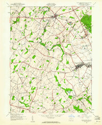
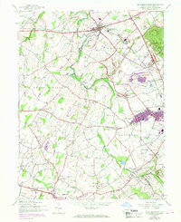
Editions of this 1944 Mc Sherrystown Map
4 editions found
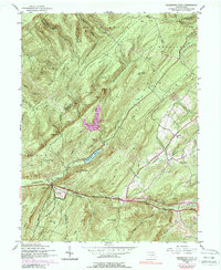
Historical Maps of Cross Keys Through Time
12 maps found
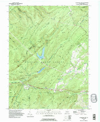
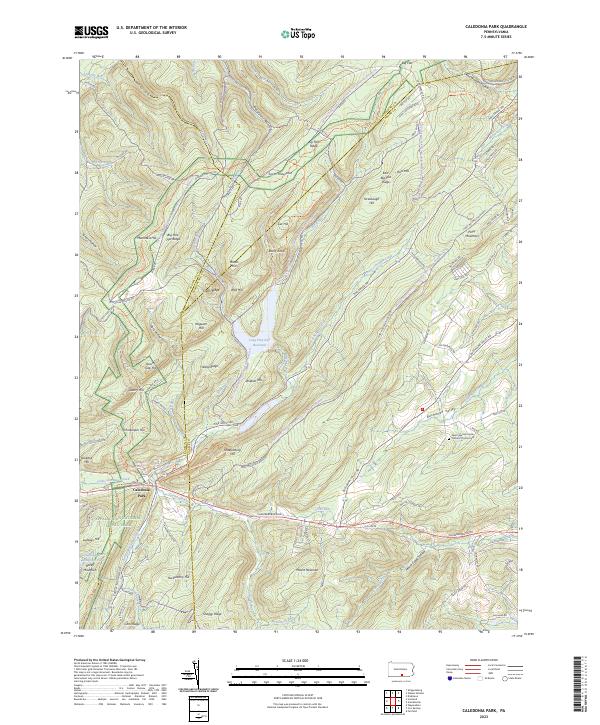
1944 Caledonia Park
Adams County, PA
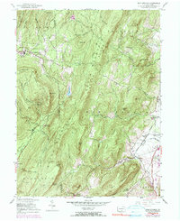
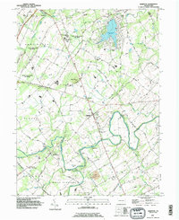
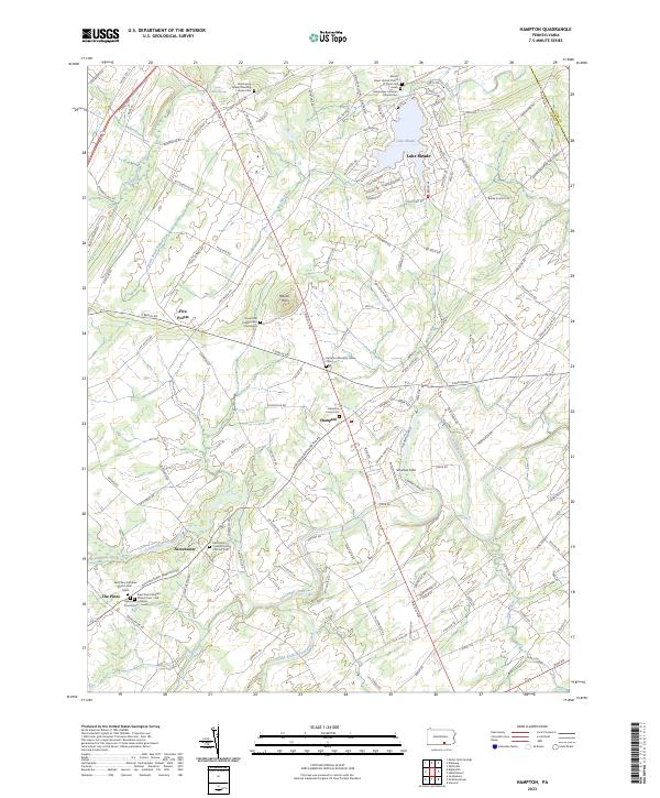
1944 Hampton
Adams County, PA
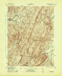
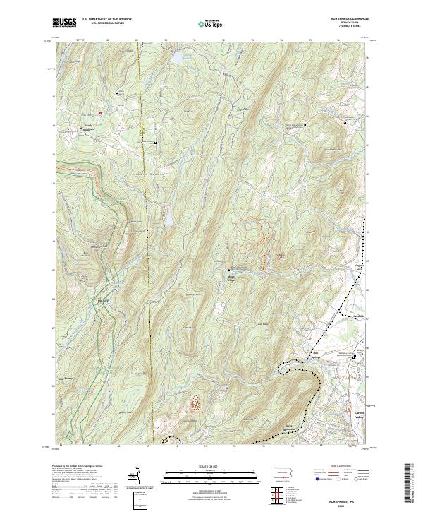
1944 Iron Springs
Adams County, PA
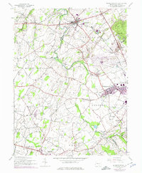
1944 Mc Sherrystown
Adams County, PA
1953 Iron Springs
Adams County, PA
1990 Caledonia Park
Adams County, PA
1990 Hampton
Adams County, PA
1990 Iron Springs
Adams County, PA
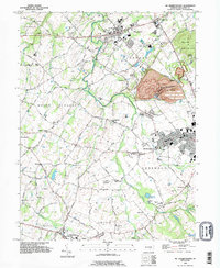
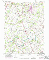
1990 Mc Sherrystown
Adams County, PA
2023 Caledonia Park
Adams County, PA
2023 Hampton
Adams County, PA
2023 Iron Springs
Adams County, PA