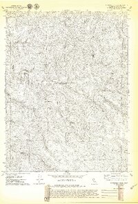
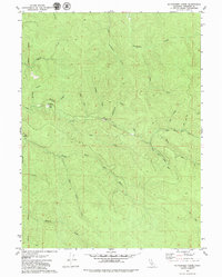
1979 Map of Mc Whinney Creek
USGS Topo · Published 1979About this map
McWhinney Creek and its many forks define this deeply dissected landscape in Humboldt County during the late 1970s. The terrain is characterized by a dense network of watercourses, including Freshwater Creek and Salmon Creek, which indicate a region heavily shaped by its hydrology. Human presence is concentrated at the Elk River Scout Camp, where a water tank is noted on the high ground above Browns Gulch. Evidence of past habitation or industry appears at Falls (Ruins), suggesting former activity that had already faded by the time of this 1979 survey. The map reveals a remote area primarily accessible via unimproved roads, where the North Fork Elk River and its branches provide the primary geographical orientation for researchers and land use historians.
Find a feature on this map
18 named features on this map. Tap any name to fly to it.
Don’t see what you’re looking for? This feature index may not catch every label — zoom into the map to look around manually.
Map Details
Editions of this 1979 Mc Whinney Creek Map
2 editions found
Other maps of this area

1922 · Eureka
USGS Topo · 1:62,500

1922 · Korbel
USGS Topo · 1:62,500

1922 · Kneeland
USGS Topo · 1:62,500

1933 · Eureka
USGS Topo · 1:48,000

1942 · Eureka
USGS Topo · 1:62,500

1944 · Fortuna
USGS Topo · 1:62,500

1945 · Blue Lake
USGS Topo · 1:62,500

1949 · Eureka
USGS Topo · 1:250,000

1950 · Iaqua Buttes
USGS Topo · 1:62,500

1951 · Eureka
USGS Topo · 1:62,500