
1972 Map of McAfee
USGS Topo · Published 1973About this map
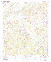
The Pearl River and its tributary Lobutcha creek dominate the northern reaches of this rural Leake County landscape, which is defined by a network of small agricultural and timber communities. In the early 1970s, the area retained several community hubs such as McAfee, Freeny, and Free Trade, connected by winding roads and the remnants of transportation history like the Old Railroad Grade. This transit corridor once moved timber and goods through a terrain marked by numerous sandpits, reflecting the local extraction economy of the era.
Find a feature on this map
26 named features on this map. Tap any name to fly to it.
Don’t see what you’re looking for? This feature index may not catch every label — zoom into the map to look around manually.
Map Details
Editions of this 1972 McAfee Map
2 editions found
Other maps of this area

1953 · Meridian
USGS Topo · 1:250,000

1957 · Meridian
USGS Topo · 1:250,000

1961 · Carthage
USGS Topo · 1:62,500

1962 · Edinburg
USGS Topo · 1:62,500

1962 · Thomastown
USGS Topo · 1:62,500

1965 · Meridian
USGS Topo · 1:250,000

1972 · Madden
USGS Topo · 1:24,000
1972 · Sebastopol
USGS Topo · 1:24,000
1972 · Walnut Grove
USGS Topo · 1:24,000

1984 · Carthage
USGS Topo · 1:100,000