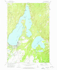
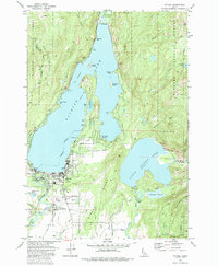
1973 Map of McCall
USGS Topo · Published 1977About this map
Mc Call sits at the southern edge of Payette Lake, serving as a central hub for the recreation and timber economy of Valley County in the early 1970s. The town's layout includes the Municipal Golf Course, a Fish Hatchery, and the Mc Call Airport, while the Union Pacific railroad line reaches into the heart of the settlement. To the north, the peninsula of Ponderosa State Park divides the lake, featuring sites like Pilgrim Cove Boat Ramp and North Beach.
Find a feature on this map
49 named features on this map. Tap any name to fly to it.
Don’t see what you’re looking for? This feature index may not catch every label — zoom into the map to look around manually.
Map Details
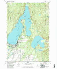
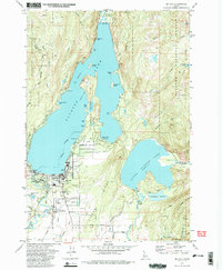
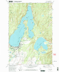
Editions of this 1973 McCall Map
5 editions found
Other maps of this area

1911 · Meadows
USGS Topo · 1:125,000

1938 · Riggins
USGS Topo · 1:96,000

1945 · Riggins
USGS Topo · 1:125,000

1955 · Baker
USGS Topo · 1:250,000

1955 · Grangeville
USGS Topo · 1:250,000

1956 · Elk City
USGS Topo · 1:250,000

1957 · Challis
USGS Topo · 1:250,000

1959 · Baker
USGS Topo · 1:250,000

1959 · Grangeville
USGS Topo · 1:250,000

1960 · Elk City
USGS Topo · 1:250,000