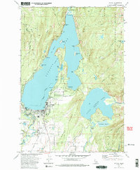
1973 Map of McCall
USGS Topo · Published 1985About this map
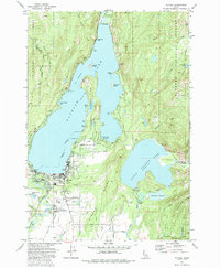
Mc Call serves as the focal point of this 1970s topographical record, situated along the southern shore of the massive Payette Lake Elevation 4986. The map illustrates the early development of this lakeside community, including its street grid and proximity to the water's edge. To the east, the smaller but equally significant Little Payette Lake Elevation 5119 is shown, nestled in the higher terrain. This period in the region's history reflects a balance between the established townsite and the surrounding timber and recreational landscape, capturing the specific shoreline configurations and elevation data that defined the area's geography before later decades of expansion.
Find a feature on this map
3 named features on this map. Tap any name to fly to it.
Don’t see what you’re looking for? This feature index may not catch every label — zoom into the map to look around manually.
Map Details
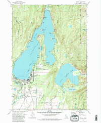
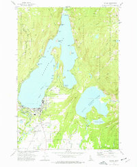
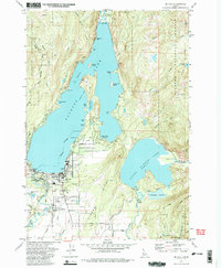
Editions of this 1973 McCall Map
5 editions found
Other maps of this area

1911 · Meadows
USGS Topo · 1:125,000

1938 · Riggins
USGS Topo · 1:96,000

1945 · Riggins
USGS Topo · 1:125,000

1955 · Baker
USGS Topo · 1:250,000

1955 · Grangeville
USGS Topo · 1:250,000

1956 · Elk City
USGS Topo · 1:250,000

1957 · Challis
USGS Topo · 1:250,000

1959 · Baker
USGS Topo · 1:250,000

1959 · Grangeville
USGS Topo · 1:250,000

1960 · Elk City
USGS Topo · 1:250,000