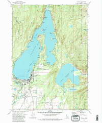
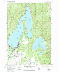
1973 Map of McCall
USGS Topo · Published 1977About this map
The resort and timber community of McCall serves as the focal point of this 1970s survey, situated at the southern tip of the glacial Payette Lake. The town's infrastructure is well-defined, showing the Union Pacific rail line terminating near the water, the Mc Call Airport to the south, and local landmarks like the High Sch, Cem, and Municipal Golf Course. This era captures the area's development as a recreational gateway, with extensive trails and campgrounds lining the shores of Ponderosa State Park and the surrounding Payette National Forest.
Find a feature on this map
58 named features on this map. Tap any name to fly to it.
Don’t see what you’re looking for? This feature index may not catch every label — zoom into the map to look around manually.
Map Details
Editions of this 1973 McCall Map
5 editions found
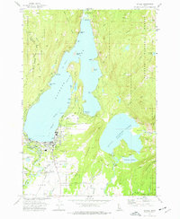
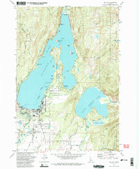
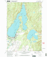
Other maps of this area

1911 · Meadows
USGS Topo · 1:125,000

1938 · Riggins
USGS Topo · 1:96,000

1945 · Riggins
USGS Topo · 1:125,000

1955 · Baker
USGS Topo · 1:250,000

1955 · Grangeville
USGS Topo · 1:250,000

1956 · Elk City
USGS Topo · 1:250,000

1957 · Challis
USGS Topo · 1:250,000

1959 · Baker
USGS Topo · 1:250,000

1959 · Grangeville
USGS Topo · 1:250,000

1960 · Elk City
USGS Topo · 1:250,000