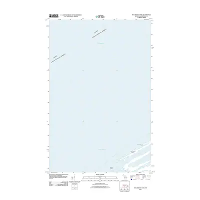
2011 Map of McCargoe Cove
USGS Topo · Published 2011About this map
The international maritime boundary between Canada and the United States bisects the cold waters of Lake Superior in this northern coastal survey. The landscape is dominated by a series of elongated peninsulas and sheltered inlets, most notably McCargoe Cove and Robinson Bay. These geological formations create a complex shoreline where narrow strips of land separate the open lake from interior waters like Amygdaloid Lake and Lake Eva. The presence of Amygdaloid Island, separated by the Amygdaloid Channel, illustrates the archipelago-like nature of this rugged coastline. Further south, the map details smaller protected waters including Herring Bay and Pickerel Cove, with Round Island standing at the entrance to the deeper coves. This 2011 survey documents a largely roadless wilderness defined by its primitive water-bound geography and remote international border.
Find a feature on this map
11 named features on this map. Tap any name to fly to it.
Don’t see what you’re looking for? This feature index may not catch every label — zoom into the map to look around manually.
Map Details
Editions of this 2011 McCargoe Cove Map
This is the sole edition of this map. No revisions or reprints were ever made.
Other maps of this area

1959 · Fort William
USGS Topo · 1:250,000

1968 · Fort William
USGS Topo · 1:250,000

1985 · Todd Harbor
USGS Topo · 1:100,000
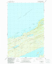
1985 · Todd Harbor
USGS Topo · 1:24,000
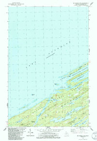
1985 · McCargoe Cove
USGS Topo · 1:24,000
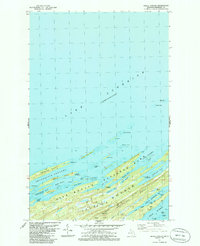
1985 · Belle Harbor
USGS Topo · 1:24,000
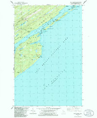
1985 · Mott Island
USGS Topo · 1:24,000
2011 · Lake Richie
USGS Topo · 1:24,000
2011 · Todd Harbor
USGS Topo · 1:24,000
2011 · Belle Harbor
USGS Topo · 1:24,000