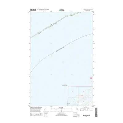
2014 Map of McCargoe Cove
USGS Topo · Published 2014About this map
Isle Royale National Park defines this maritime landscape along the international border between Michigan and Canada. The map documents the northern reaches of Isle Royale, where the shoreline is broken by the deep inlets of Robinson Bay and Herring Bay. This 2014 survey reveals a transition from the open waters of Lake Superior to interior freshwater features such as Amygdaloid Lake and Lake Eva. Notable geographic markers include the coastal point of Kjaringa Kjeft and the nearby Round Island. The chart is primarily a study of wilderness and water, illustrating the intricate coastline and bathymetry of the archipelago's northeast corner within Keweenaw County.
Find a feature on this map
14 named features on this map. Tap any name to fly to it.
Don’t see what you’re looking for? This feature index may not catch every label — zoom into the map to look around manually.
Map Details
Editions of this 2014 McCargoe Cove Map
This is the sole edition of this map. No revisions or reprints were ever made.
Other maps of this area

1959 · Fort William
USGS Topo · 1:250,000

1968 · Fort William
USGS Topo · 1:250,000

1985 · Todd Harbor
USGS Topo · 1:100,000
1985 · Todd Harbor
USGS Topo · 1:24,000
1985 · McCargoe Cove
USGS Topo · 1:24,000
1985 · Belle Harbor
USGS Topo · 1:24,000
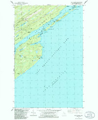
1985 · Mott Island
USGS Topo · 1:24,000
2011 · Lake Richie
USGS Topo · 1:24,000
2011 · Todd Harbor
USGS Topo · 1:24,000
2011 · Belle Harbor
USGS Topo · 1:24,000