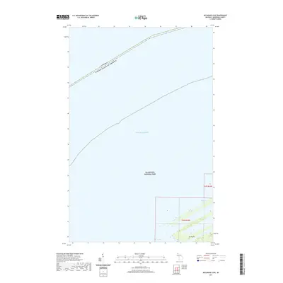
2019 Map of McCargoe Cove
USGS Topo · Published 2019About this map
Isle Royale National Park dominates this maritime survey, illustrating the isolated character of Michigan’s northernmost wilderness at the end of the 2010s. The map delineates the international border through the cold waters of Lake Superior, where the United States and Canada meet along a series of surveyed coordinates. This specific section focuses on the northeastern reaches of Isle Royale, including the interior waters of Amygdaloid Lake. The presence of the Public Land Survey System grids, such as t67n r34w and t66n r34w, provides a structural framework for a landscape otherwise defined by rocky shorelines and protected parkland. This document captures the intersection of federal conservation and international boundary management in a remote Great Lakes environment.
Find a feature on this map
7 named features on this map. Tap any name to fly to it.
Don’t see what you’re looking for? This feature index may not catch every label — zoom into the map to look around manually.
Map Details
Editions of this 2019 McCargoe Cove Map
This is the sole edition of this map. No revisions or reprints were ever made.
Other maps of this area

1959 · Fort William
USGS Topo · 1:250,000

1968 · Fort William
USGS Topo · 1:250,000

1985 · Todd Harbor
USGS Topo · 1:100,000
1985 · Todd Harbor
USGS Topo · 1:24,000
1985 · McCargoe Cove
USGS Topo · 1:24,000
1985 · Belle Harbor
USGS Topo · 1:24,000
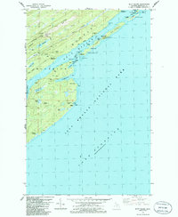
1985 · Mott Island
USGS Topo · 1:24,000
2011 · Lake Richie
USGS Topo · 1:24,000
2011 · Todd Harbor
USGS Topo · 1:24,000
2011 · Belle Harbor
USGS Topo · 1:24,000