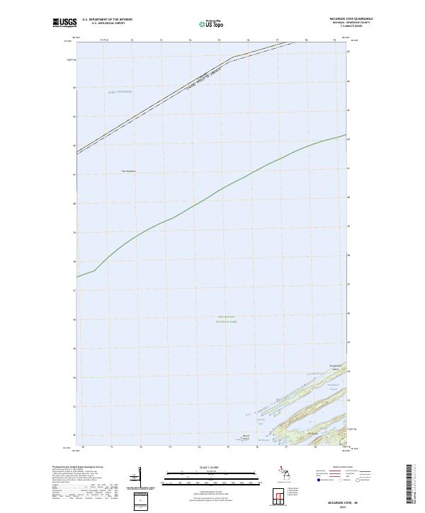
2023 Map of McCargoe Cove
USGS Topo · Published 2023About this map
Isle Royale National Park dominates this northern reach of the Keweenaw Peninsula, where the waters of Lake Superior meet the international boundary with Canada. This 2023 survey delineates the protected character of the Isle Royale Wilderness, particularly around the northeastern finger of Amygdaloid Island. The landscape is defined by the parallel ridges and channels characteristic of the archipelago's geology, including the heights of Pine Mountain and the sheltered waters of Amygdaloid Channel.
Find a feature on this map
14 named features on this map. Tap any name to fly to it.
Don’t see what you’re looking for? This feature index may not catch every label — zoom into the map to look around manually.
Map Details
Editions of this 2023 McCargoe Cove Map
This is the sole edition of this map. No revisions or reprints were ever made.
Other maps of this area

1959 · Fort William
USGS Topo · 1:250,000

1968 · Fort William
USGS Topo · 1:250,000

1985 · Todd Harbor
USGS Topo · 1:100,000
1985 · Todd Harbor
USGS Topo · 1:24,000
1985 · McCargoe Cove
USGS Topo · 1:24,000
1985 · Belle Harbor
USGS Topo · 1:24,000
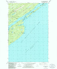
1985 · Mott Island
USGS Topo · 1:24,000
2011 · Lake Richie
USGS Topo · 1:24,000
2011 · Todd Harbor
USGS Topo · 1:24,000
2011 · Belle Harbor
USGS Topo · 1:24,000