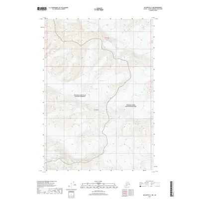
2017 Map of McCarthy A-1 NW
USGS Topo · Published 2017About this map
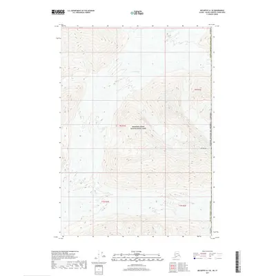
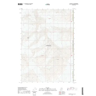
Barnard Glacier dominates the central vertical axis of this terrain, carving through high-elevation glacial valleys in the eastern reaches of the Chugach and Wrangell Mountains. The topography is defined by the massive ice flow that bisects the landscape, surrounded by steep, unnamed ridges and peaks that rise sharply from the glacier's surface. This particular area serves as a significant boundary point between different land management designations. The southern and eastern portions of the map fall within the Wrangell-Saint Elias National Park, while the northwestern section is protected under the Wrangell-Saint Elias National Preserve. The lack of human infrastructure or named settlements emphasizes the extreme wilderness character of this high-alpine environment, where land divisions like t7s r23e and t8s r23e exist primarily as cartographic coordinates over a vast, frozen landscape.
Find a feature on this map
5 named features on this map. Tap any name to fly to it.
Don’t see what you’re looking for? This feature index may not catch every label — zoom into the map to look around manually.
Map Details
Editions of this 2017 McCarthy A-1 NW Map
This is the sole edition of this map. No revisions or reprints were ever made.
Other maps of this area

1951 · McCarthy
USGS Topo · 1:250,000

1959 · McCarthy A-2
USGS Topo · 1:63,360

1959 · McCarthy B-2
USGS Topo · 1:63,360

1959 · McCarthy B-1
USGS Topo · 1:63,360
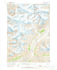
1959 · McCarthy A-1
USGS Topo · 1:63,360

1960 · McCarthy
USGS Topo · 1:250,000
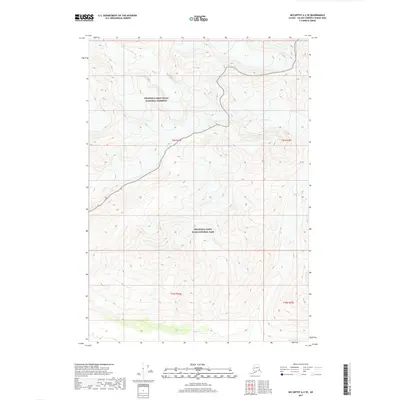
2017 · McCarthy A-2 SE
USGS Topo · 1:25,000
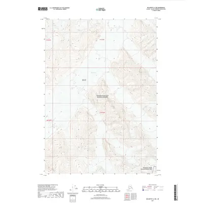
2017 · McCarthy A-2 NE
USGS Topo · 1:25,000
2017 · McCarthy A-1 SE
USGS Topo · 1:25,000
2017 · McCarthy A-1 NE
USGS Topo · 1:25,000