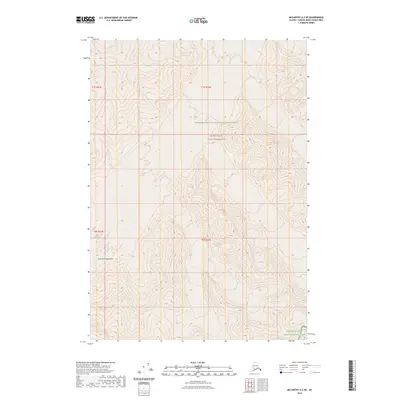
2023 Map of McCarthy A-2 NE
USGS Topo · Published 2023About this map
The Saint Elias Mountains dominate this high-altitude Alaskan landscape, where the sheer vertical relief is documented through a dense network of topographic contours. The map captures a transition of federal land management designations within a single quadrangle, showing the shared borders of the Wrangell-Saint Elias National Preserve, the Wrangell-St. Elias Wilderness, and the Wrangell-Saint Elias National Park. This 2023 survey illustrates the protected status of the interior wilderness, providing a precise look at the township and range lines, including t7s r22e and t8s r21e, as they overlay the mountain peaks and drainage basins. With no roads or permanent settlements indicated, the focus remains entirely on the natural geography and the administrative boundaries that define this remote region.
Find a feature on this map
8 named features on this map. Tap any name to fly to it.
Don’t see what you’re looking for? This feature index may not catch every label — zoom into the map to look around manually.
Map Details
Editions of this 2023 McCarthy A-2 NE Map
This is the sole edition of this map. No revisions or reprints were ever made.
Other maps of this area

1951 · McCarthy
USGS Topo · 1:250,000

1959 · McCarthy A-2
USGS Topo · 1:63,360

1959 · McCarthy B-2
USGS Topo · 1:63,360

1959 · McCarthy B-1
USGS Topo · 1:63,360
1959 · McCarthy A-1
USGS Topo · 1:63,360

1960 · McCarthy
USGS Topo · 1:250,000
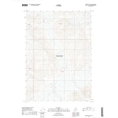
2017 · McCarthy A-2 NW
USGS Topo · 1:25,000
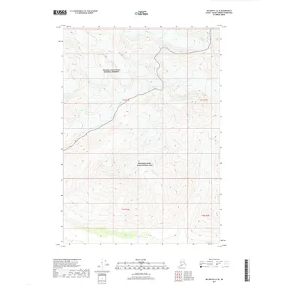
2017 · McCarthy A-2 SE
USGS Topo · 1:25,000
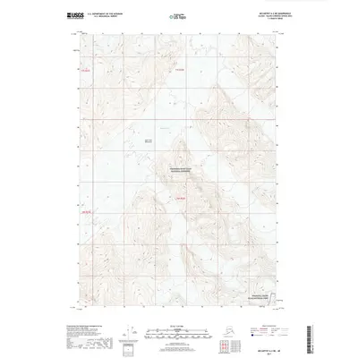
2017 · McCarthy A-2 NE
USGS Topo · 1:25,000
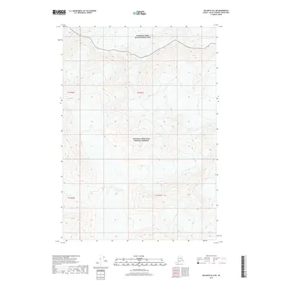
2017 · McCarthy B-2 SW
USGS Topo · 1:25,000