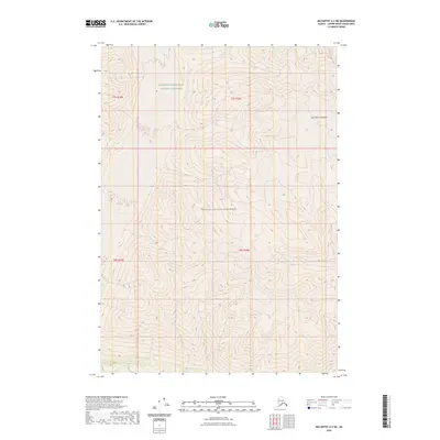
2023 Map of McCarthy A-3 NE
USGS Topo · Published 2023About this map
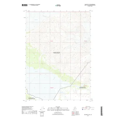
The Saint Elias Mountains dominate this high-altitude landscape in the Copper River Census Area, where the topography is defined by extreme vertical relief and glacial terrain. As a detailed 2023 study of one of North America’s most formidable mountain ranges, this map illustrates the vast, protected expanses of the Wrangell-Saint Elias National Preserve and the adjacent Wrangell-St. Elias Wilderness. The sheet is almost entirely devoid of human-named roads or settlements, focusing instead on the complex contour lines that represent some of the highest peaks on the continent. This map provides a precise contemporary record of the boundaries between the preserve and wilderness areas within the Wrangell-St. Elias complex, offering specialized detail for those studying the geomorphology of the Alaska-Yukon borderlands.
Find a feature on this map
7 named features on this map. Tap any name to fly to it.
Don’t see what you’re looking for? This feature index may not catch every label — zoom into the map to look around manually.
Map Details
Editions of this 2023 McCarthy A-3 NE Map
This is the sole edition of this map. No revisions or reprints were ever made.
Other maps of this area

1951 · McCarthy
USGS Topo · 1:250,000

1959 · McCarthy A-2
USGS Topo · 1:63,360

1959 · McCarthy B-2
USGS Topo · 1:63,360

1959 · McCarthy A-3
USGS Topo · 1:63,360

1959 · McCarthy B-3
USGS Topo · 1:63,360

1960 · McCarthy
USGS Topo · 1:250,000
2017 · McCarthy A-2 NW
USGS Topo · 1:25,000
2017 · McCarthy B-2 SW
USGS Topo · 1:25,000
2017 · McCarthy A-3 NE
USGS Topo · 1:25,000
2017 · McCarthy A-2 SW
USGS Topo · 1:25,000