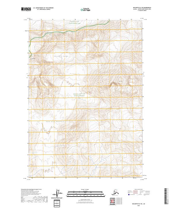
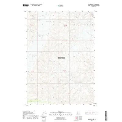
2023 Map of McCarthy B-3 SE
USGS Topo · Published 2023About this map
The Saint Elias Mountains dominate this high-altitude terrain, showcasing a landscape of extreme verticality and glacial landforms. The map identifies major topographic landmarks within the University Range, including the prominent Univ Peak and Aello Peak, alongside the evocatively named The Twaharpies. This area sits at a massive intersection of protected lands, where the Wrangell-Saint Elias National Park meets the Wrangell-Saint Elias National Preserve and the dedicated Wrangell-St. Elias Wilderness. The presence of these specific peaks and ranges highlights the surveying work required to map one of the most remote and high-relief corners of the American wilderness, providing a precise record of these named summits in the early 21st century.
Find a feature on this map
13 named features on this map. Tap any name to fly to it.
Don’t see what you’re looking for? This feature index may not catch every label — zoom into the map to look around manually.
Map Details
Editions of this 2023 McCarthy B-3 SE Map
This is the sole edition of this map. No revisions or reprints were ever made.
Other maps of this area

1951 · McCarthy
USGS Topo · 1:250,000

1959 · McCarthy A-2
USGS Topo · 1:63,360

1959 · McCarthy B-2
USGS Topo · 1:63,360

1959 · McCarthy A-3
USGS Topo · 1:63,360

1959 · McCarthy B-3
USGS Topo · 1:63,360

1960 · McCarthy
USGS Topo · 1:250,000
2017 · McCarthy B-2 NW
USGS Topo · 1:25,000
2017 · McCarthy A-2 NW
USGS Topo · 1:25,000
2017 · McCarthy B-2 SW
USGS Topo · 1:25,000
2017 · McCarthy A-3 NE
USGS Topo · 1:25,000