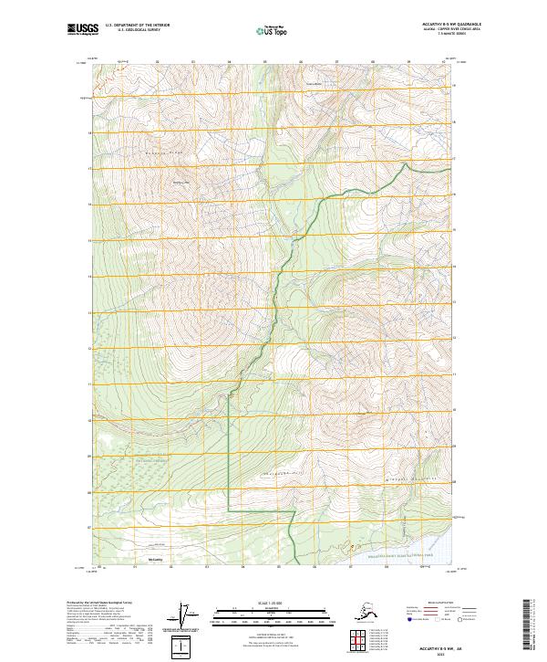
2023 Map of McCarthy B-5 NW
USGS Topo · Published 2023About this map
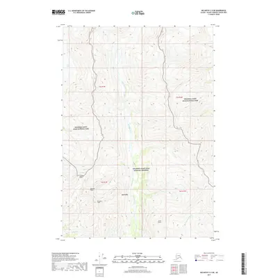
McCarthy sits at the southern edge of this high-altitude landscape, where the Dan Creek Road meets the valley floor. The map traces the winding course of McCarthy Creek, which flows south through a series of steep drainages, joined by Nikolai Creek and the East Fork McCarthy Creek before reaching the Nizina River. The terrain is dominated by significant elevations such as Bonanza Ridge and Porphyry Mtn, marking a region historically defined by its mineral prospects and proximity to the copper-rich Kennecott area.
Find a feature on this map
23 named features on this map. Tap any name to fly to it.
Don’t see what you’re looking for? This feature index may not catch every label — zoom into the map to look around manually.
Map Details
Editions of this 2023 McCarthy B-5 NW Map
This is the sole edition of this map. No revisions or reprints were ever made.
Other maps of this area

1951 · McCarthy
USGS Topo · 1:250,000

1959 · McCarthy B-6
USGS Topo · 1:63,360

1959 · McCarthy C-5
USGS Topo · 1:63,360

1959 · McCarthy B-5
USGS Topo · 1:63,360

1959 · McCarthy C-6
USGS Topo · 1:63,360

1960 · McCarthy
USGS Topo · 1:250,000
1993 · McCarthy C-6
USGS Topo · 1:63,360
1993 · McCarthy C-5
USGS Topo · 1:63,360
1994 · McCarthy B-6
USGS Topo · 1:63,360
2017 · McCarthy C-5 SW
USGS Topo · 1:25,000