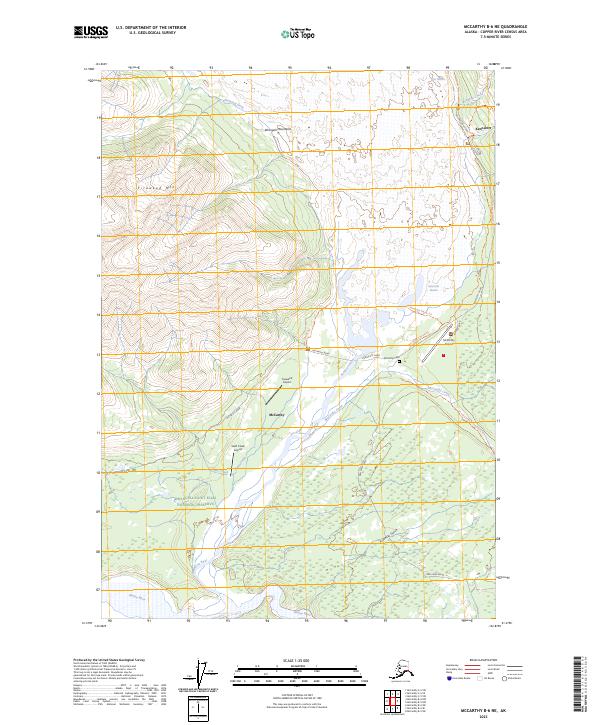
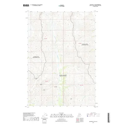
2023 Map of McCarthy B-6 NE
USGS Topo · Published 2023About this map
Kennicott and McCarthy serve as the primary gateways to this pocket of the Wrangell-Saint Elias National Preserve. The settlement pattern reflects the area's industrial mining legacy and modern aviation reliance, with multiple landing strips including McCarthy Airport, Fireweed Airport, and Swift Creek Airport dotting the valley floor. The geography is defined by the massive glacial tongues of the Kennicott Glacier and Root Glacier, which feed the Kennicott River. Historical transit routes are well-preserved, from the Mill Building Road and the residential stretch of Silk Stocking Row in the north to the Old Wagon Road Trl and Dan Creek Road. The presence of the McCarthy Cem and numerous named watercourses like Bonanza Creek and Swift Creek provides essential context for local genealogists and historians studying the human footprint in the Wrangell Mountains.
Find a feature on this map
35 named features on this map. Tap any name to fly to it.
Don’t see what you’re looking for? This feature index may not catch every label — zoom into the map to look around manually.
Map Details
Editions of this 2023 McCarthy B-6 NE Map
This is the sole edition of this map. No revisions or reprints were ever made.
Other maps of this area

1951 · McCarthy
USGS Topo · 1:250,000

1959 · McCarthy B-6
USGS Topo · 1:63,360

1959 · McCarthy C-5
USGS Topo · 1:63,360

1959 · McCarthy B-5
USGS Topo · 1:63,360

1959 · McCarthy C-6
USGS Topo · 1:63,360

1960 · McCarthy
USGS Topo · 1:250,000
1993 · McCarthy C-6
USGS Topo · 1:63,360
1993 · McCarthy C-5
USGS Topo · 1:63,360
1994 · McCarthy B-6
USGS Topo · 1:63,360
2017 · McCarthy C-5 SW
USGS Topo · 1:25,000