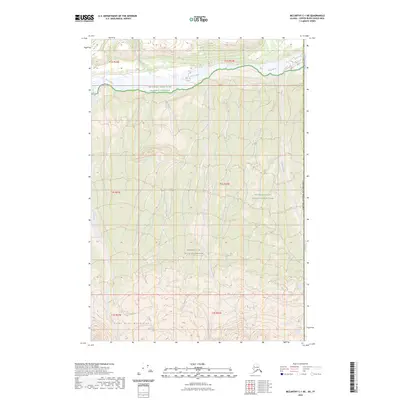
2023 Map of McCarthy C-1 NE
USGS Topo · Published 2023About this map
The Saint Elias Mountains dominate this high-latitude terrain along the border of the United States of America. This landscape is defined by the shifting braids of the White River, which flows through the Wrangell-Saint Elias National Preserve in the northern portion of the sheet. The region is a complex protected area, where the boundaries of the Wrangell-Saint Elias National Park and the vast Wrangell St. Elias Wilderness intersect, preserving a wilderness largely untouched by permanent settlement.
Find a feature on this map
16 named features on this map. Tap any name to fly to it.
Don’t see what you’re looking for? This feature index may not catch every label — zoom into the map to look around manually.
Map Details
Editions of this 2023 McCarthy C-1 NE Map
This is the sole edition of this map. No revisions or reprints were ever made.
Other maps of this area

1951 · McCarthy
USGS Topo · 1:250,000

1959 · McCarthy D-1
USGS Topo · 1:63,360

1959 · McCarthy C-1
USGS Topo · 1:63,360

1960 · McCarthy
USGS Topo · 1:250,000
2017 · McCarthy C-1 SE
USGS Topo · 1:25,000
2017 · McCarthy C-1 NE
USGS Topo · 1:25,000
2017 · McCarthy C-1 SW
USGS Topo · 1:25,000
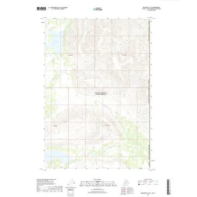
2017 · McCarthy D-1 SE
USGS Topo · 1:25,000
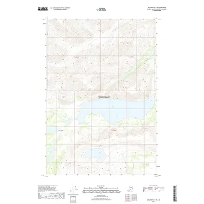
2017 · McCarthy D-1 SW
USGS Topo · 1:25,000
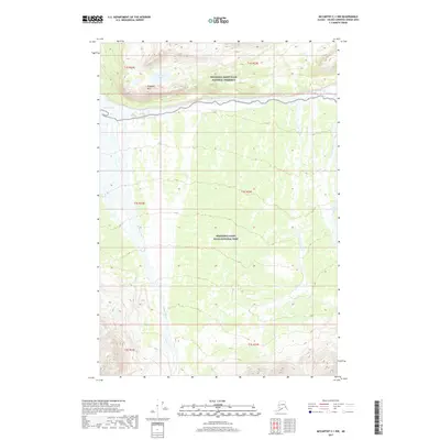
2017 · McCarthy C-1 NW
USGS Topo · 1:25,000