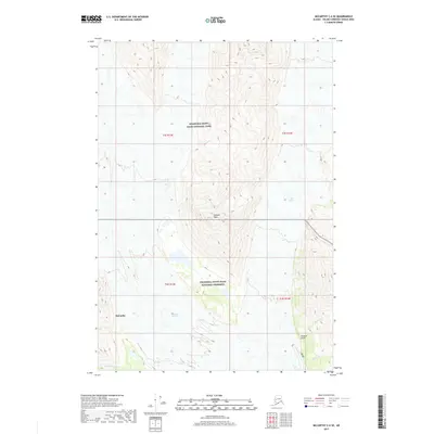
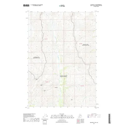
2017 Map of McCarthy C-6 SE
USGS Topo · Published 2017About this map
McCarthy sits at the southwestern edge of this 2017 survey, serving as a gateway to the high-altitude landscape of the Wrangell-Saint Elias National Park and Wrangell-Saint Elias National Preserve. The geography is defined by the massive slow-moving ice of the Kennicott Glacier and Root Glacier, which carve through the terrain surrounding Donoho Peak. This modern topographic study details the drainage systems that feed these icy giants, including Amazon Cr and Jumbo Cr flowing through Amazon Gulch in the southeast, and Fourth of July Cr in the southwest. The map provides a precise view of the interface between established settlement and some of the most prominent glacial features in the region, illustrating how the natural topography dictates the limits of human expansion in this part of the Unorganized Borough.
Find a feature on this map
14 named features on this map. Tap any name to fly to it.
Don’t see what you’re looking for? This feature index may not catch every label — zoom into the map to look around manually.
Map Details
Editions of this 2017 McCarthy C-6 SE Map
This is the sole edition of this map. No revisions or reprints were ever made.
Other maps of this area

1951 · McCarthy
USGS Topo · 1:250,000

1959 · McCarthy B-6
USGS Topo · 1:63,360

1959 · McCarthy C-5
USGS Topo · 1:63,360

1959 · McCarthy B-5
USGS Topo · 1:63,360

1959 · McCarthy C-6
USGS Topo · 1:63,360

1960 · McCarthy
USGS Topo · 1:250,000
1993 · McCarthy C-6
USGS Topo · 1:63,360
1993 · McCarthy C-5
USGS Topo · 1:63,360
1994 · McCarthy B-6
USGS Topo · 1:63,360
2017 · McCarthy C-5 SW
USGS Topo · 1:25,000