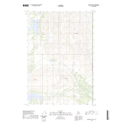
2023 Map of McCarthy D-1 SE
USGS Topo · Published 2023About this map
Wrangell-Saint Elias National Preserve encompasses the vast majority of this high-altitude landscape, where the Nutzotin Mountains dominate the central terrain. The drainage patterns here are defined by glacial and snowmelt runoff, with Ptarmigan Creek flowing south from Ptarmigan Lake in the northwest. This 2023 survey illustrates a high-mountain wilderness along the international border of the United States of America, where deep creek valleys like Cache Creek and Rocker Creek carve through the steep ridgelines. The absence of roads or permanent settlements underscores the primitive nature of this protected interior, preserved as a corridor for wildlife and natural watershed systems.
Find a feature on this map
13 named features on this map. Tap any name to fly to it.
Don’t see what you’re looking for? This feature index may not catch every label — zoom into the map to look around manually.
Map Details
Editions of this 2023 McCarthy D-1 SE Map
This is the sole edition of this map. No revisions or reprints were ever made.
Other maps of this area

1951 · McCarthy
USGS Topo · 1:250,000

1959 · McCarthy D-1
USGS Topo · 1:63,360

1959 · McCarthy C-1
USGS Topo · 1:63,360

1960 · McCarthy
USGS Topo · 1:250,000
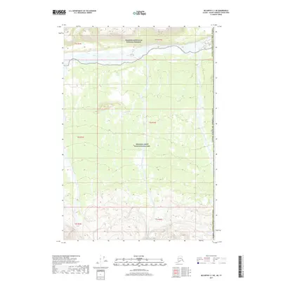
2017 · McCarthy C-1 NE
USGS Topo · 1:25,000
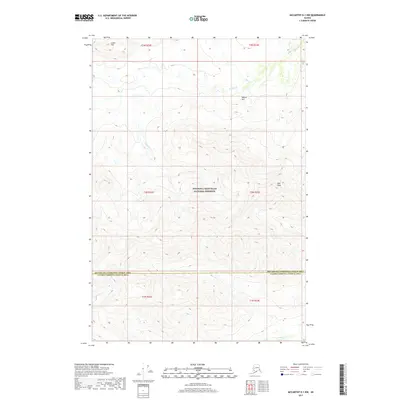
2017 · McCarthy D-1 NW
USGS Topo · 1:25,000
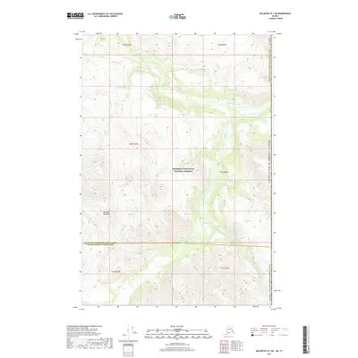
2017 · McCarthy D-1 NE
USGS Topo · 1:25,000
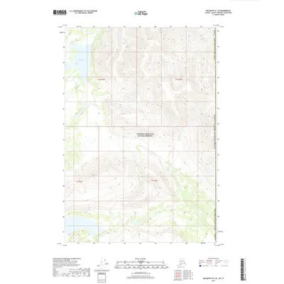
2017 · McCarthy D-1 SE
USGS Topo · 1:25,000
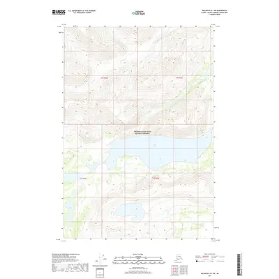
2017 · McCarthy D-1 SW
USGS Topo · 1:25,000
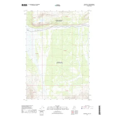
2017 · McCarthy C-1 NW
USGS Topo · 1:25,000