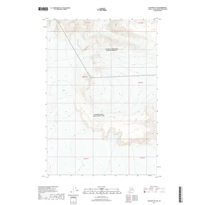
2017 Map of McCarthy D-7 NE
USGS Topo · Published 2017About this map
Nabesna Glacier dominates the western topography of this Alaskan interior landscape, carving a massive path through the high-altitude terrain of the Copper River region. The map captures the administrative boundary where the Wrangell-Saint Elias National Preserve meets the northern extent of the Wrangell-Saint Elias National Park. This transition marks a shift in land use and protection status within the nation's largest national park system. The cartography here focuses on the raw glacial ice and the complex contour lines of the surrounding peaks, illustrating the intersection of the massive glacier with the high ridges of the Wrangell Mountains. The survey provides a technical look at the movement and extent of the ice fields before the most recent decade of climatic changes.
Find a feature on this map
10 named features on this map. Tap any name to fly to it.
Don’t see what you’re looking for? This feature index may not catch every label — zoom into the map to look around manually.
Map Details
Editions of this 2017 McCarthy D-7 NE Map
This is the sole edition of this map. No revisions or reprints were ever made.
Other maps of this area

1950 · Nabesna
USGS Topo · 1:250,000

1951 · McCarthy
USGS Topo · 1:250,000

1951 · Nabesna
USGS Topo · 1:250,000

1959 · McCarthy D-7
USGS Topo · 1:63,360

1959 · Nabesna A-5
USGS Topo · 1:63,360

1960 · McCarthy D-6
USGS Topo · 1:63,360

1960 · Nabesna
USGS Topo · 1:250,000

1960 · McCarthy
USGS Topo · 1:250,000
2016 · Nabesna A-5 SW
USGS Topo · 1:25,000
2016 · Nabesna A-5 SE
USGS Topo · 1:25,000