
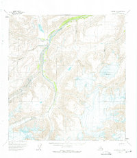
1959 Map of Nabesna A-5
USGS Topo · Published 1966About this map
Mt Gordon stands as a prominent landmark in this high-altitude Alaskan landscape, where the shifting ice of the Jacksina Glacier and the Nabesna Glacier dominates the terrain. The drainage patterns of the late 1950s are meticulously recorded, showing how Jacksina Creek and its tributaries, such as Mesa Creek and Monte Cristo Creek, carve through the glacial valleys. A single Pack Trail winding past Grizzly Lake in the northwest corner represents the only indicated human infrastructure, highlighting the extreme isolation of this region at the time of the survey. This map provides a specialized view of glaciological and topographic conditions in the Copper River Meridian before modern climate shifts significantly altered these frozen environments.
Find a feature on this map
8 named features on this map. Tap any name to fly to it.
Don’t see what you’re looking for? This feature index may not catch every label — zoom into the map to look around manually.
Map Details
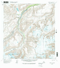
Editions of this 1959 Nabesna A-5 Map
3 editions found
Other maps of this area

1950 · Nabesna
USGS Topo · 1:250,000

1951 · McCarthy
USGS Topo · 1:250,000

1951 · Nabesna
USGS Topo · 1:250,000

1959 · Nabesna A-6
USGS Topo · 1:63,360

1959 · Nabesna A-4
USGS Topo · 1:63,360

1959 · McCarthy D-7
USGS Topo · 1:63,360

1960 · Nabesna B-4
USGS Topo · 1:63,360

1960 · Nabesna B-5
USGS Topo · 1:63,360

1960 · McCarthy D-6
USGS Topo · 1:63,360

1960 · Nabesna
USGS Topo · 1:250,000