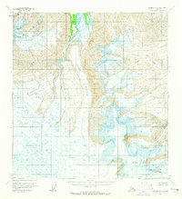
1959 Map of Nabesna A-6
USGS Topo · Published 1965About this map
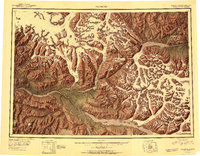
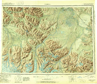
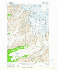
Mt Jarvis dominates the southern reaches of this high-altitude landscape, where vast ice fields and glacial movements define the geography of the late 1950s. The topographic detail captures the massive Copper Glacier and Jacksina Glacier, highlighting the extensive crevasses that mark these frozen rivers. These glaciers feed into the headwaters of the Copper River, illustrating the fundamental hydrological connection between the mountain summits and the valley floor. To the northwest, West Glacier and the drainage of Tumble Creek further emphasize the glacial-dominated terrain. This survey, based on 1957 aerial photography, provides a literal map of a shifting ice-bound wilderness before significant modern climatic shifts, preserving the exact contours of the peaks and the precise margins of the ice as they stood mid-century.
Find a feature on this map
7 named features on this map. Tap any name to fly to it.
Don’t see what you’re looking for? This feature index may not catch every label — zoom into the map to look around manually.
Map Details
Editions of this 1959 Nabesna A-6 Map
2 editions found

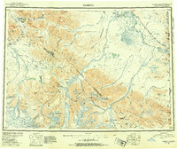
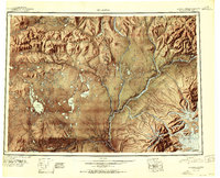
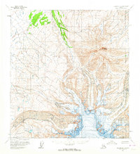
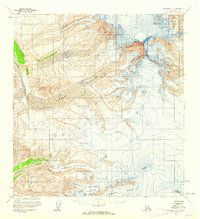
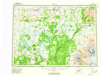
Other maps of this area
1950 · Nabesna
USGS Topo · 1:250,000
1951 · McCarthy
USGS Topo · 1:250,000
1951 · Gulkana
USGS Topo · 1:250,000
1951 · Nabesna
USGS Topo · 1:250,000

1952 · Valdez
USGS Topo · 1:250,000
1959 · Gulkana B-1
USGS Topo · 1:63,360
1959 · Gulkana A-1
USGS Topo · 1:63,360
1959 · Gulkana
USGS Topo · 1:250,000
1959 · Valdez D-1
USGS Topo · 1:63,360
1959 · McCarthy D-7
USGS Topo · 1:63,360