
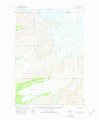
1959 Map of Valdez D-1
USGS Topo · Published 1965About this map
Mt Wrangell Crater dominates the northern skyline of this Alaskan interior landscape, where active geothermal features meet massive ice fields. The mid-century survey captures a transition from the volcanic heights of the Wrangell Mountains down to the intricate river systems below. Huge ice flows, including the Cheshnina Glacier and Long Glacier, are marked by extensive Crevasses as they grind toward the valley floor.
Find a feature on this map
12 named features on this map. Tap any name to fly to it.
Don’t see what you’re looking for? This feature index may not catch every label — zoom into the map to look around manually.
Map Details
Editions of this 1959 Valdez D-1 Map
2 editions found
Other maps of this area

1950 · Nabesna
USGS Topo · 1:250,000

1951 · McCarthy
USGS Topo · 1:250,000

1951 · Gulkana
USGS Topo · 1:250,000

1951 · Nabesna
USGS Topo · 1:250,000

1951 · McCarthy C-8
USGS Topo · 1:63,360

1951 · Valdez C-2
USGS Topo · 1:63,360

1951 · Valdez C-1
USGS Topo · 1:63,360

1952 · Valdez
USGS Topo · 1:250,000

1953 · Valdez C-2
USGS Topo · 1:63,360

1953 · Valdez C-1
USGS Topo · 1:63,360