
1951 Map of Valdez C-1
USGS Topo · Published 1964About this map
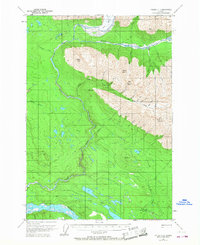
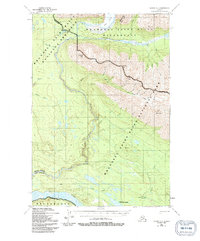
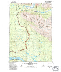
Strelna serves as the focal point for human activity in this corner of the Copper River region, situated along the Old Railroad Grade that traces the valley floor. The map, based on 1950 aerial photography, documents the industrial remnants and early transportation routes of the interior, including a Mine located high above the Elliott Creek drainage. The landscape is defined by the massive glacial drainages of the Kotsina River and Chitina River, with the latter dominating the southern portion of the sheet. Between these glacial waters rise significant peaks such as Hubbard Peak, Sheep Mtn, and Alice Peak. The Presence of several cabins along the watercourses suggests a period when seasonal residency and resource extraction were the primary drivers of settlement. The northern reach is particularly remote, marked by the flow of the Long Glacier as it feeds the upper Kotsina valley.
Find a feature on this map
29 named features on this map. Tap any name to fly to it.
Don’t see what you’re looking for? This feature index may not catch every label — zoom into the map to look around manually.
Map Details
Editions of this 1951 Valdez C-1 Map
4 editions found
Other maps of this area

1951 · McCarthy
USGS Topo · 1:250,000

1951 · Valdez B-2
USGS Topo · 1:63,360

1951 · Valdez B-1
USGS Topo · 1:63,360

1951 · McCarthy C-8
USGS Topo · 1:63,360

1951 · Valdez C-2
USGS Topo · 1:63,360

1951 · McCarthy B-8
USGS Topo · 1:63,360

1952 · Valdez
USGS Topo · 1:250,000

1953 · Valdez C-2
USGS Topo · 1:63,360

1953 · Valdez C-1
USGS Topo · 1:63,360

1959 · Valdez D-2
USGS Topo · 1:63,360